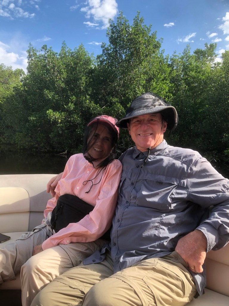
I forgot to include this photo from our Everglades backcountry tour yesterday.
That is black mosquito netting over my face 😊
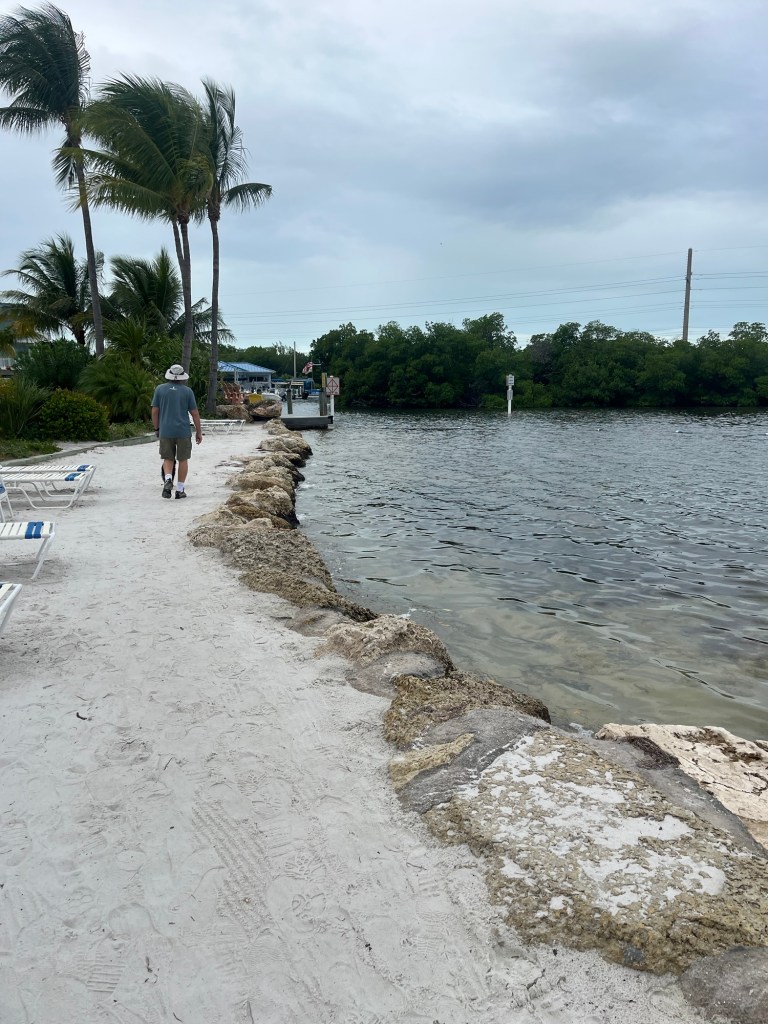
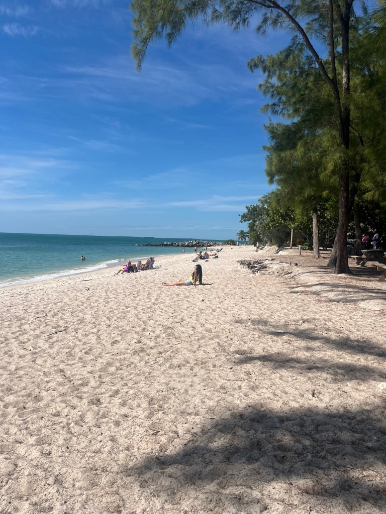
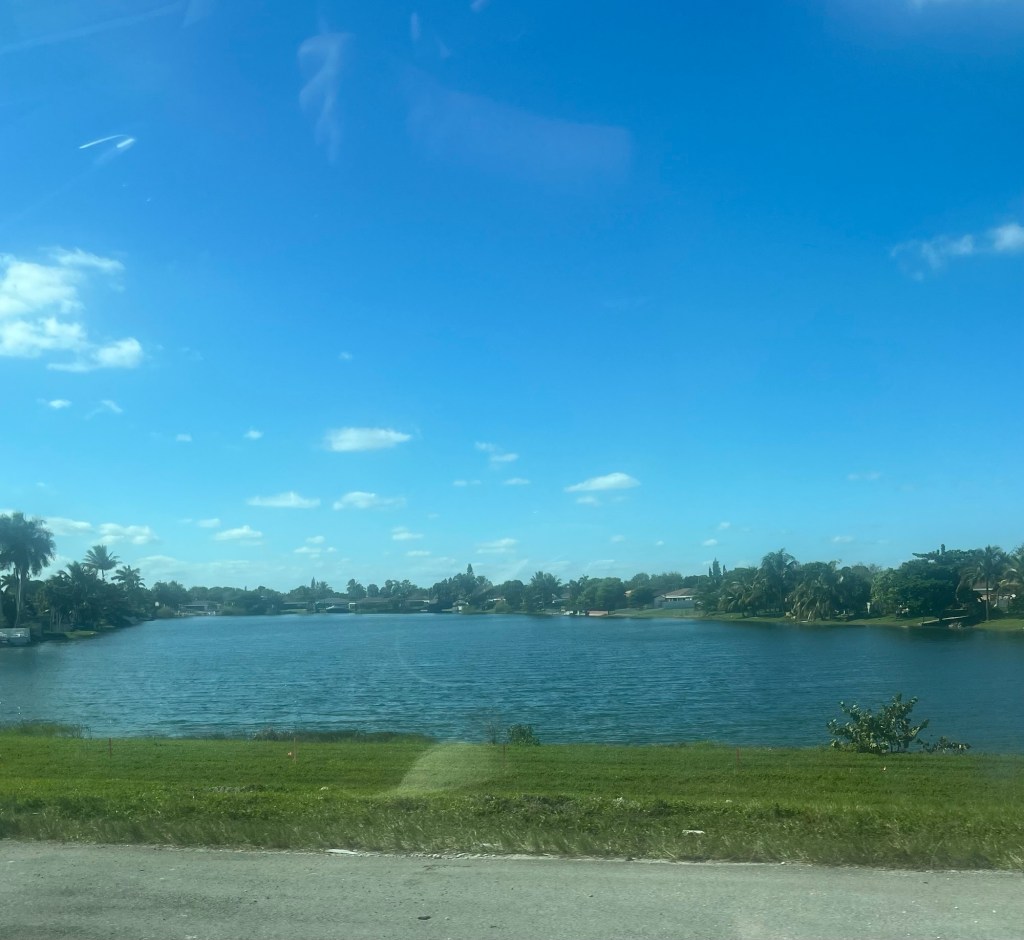
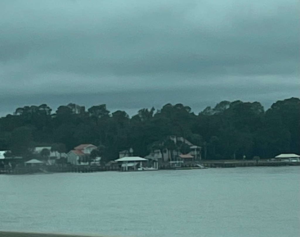
 After our morning walk around Collier Seminole State Park in southwest Florida, we worked our way up the west coast of Florida through Marco Island, Naples, St. Petersburg to Manatee Springs State Park in Chiefland, Florida. I almost forgot to mention there were crocodiles gliding just under the surface of the water at the marina on our walk this morning 😳.
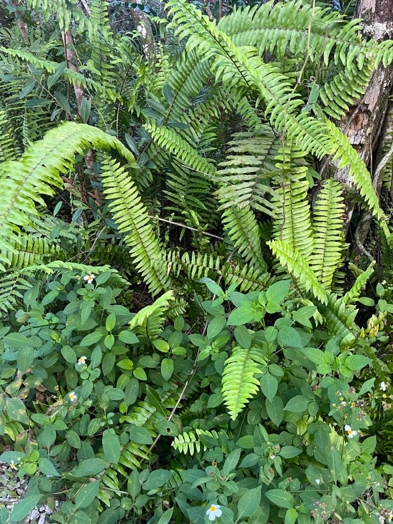
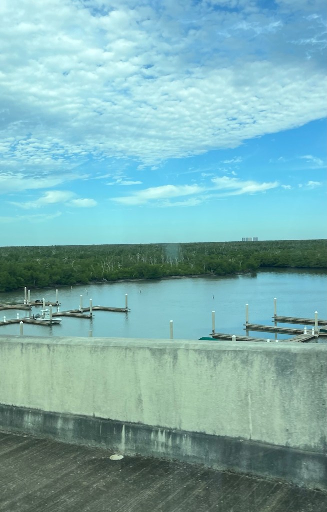
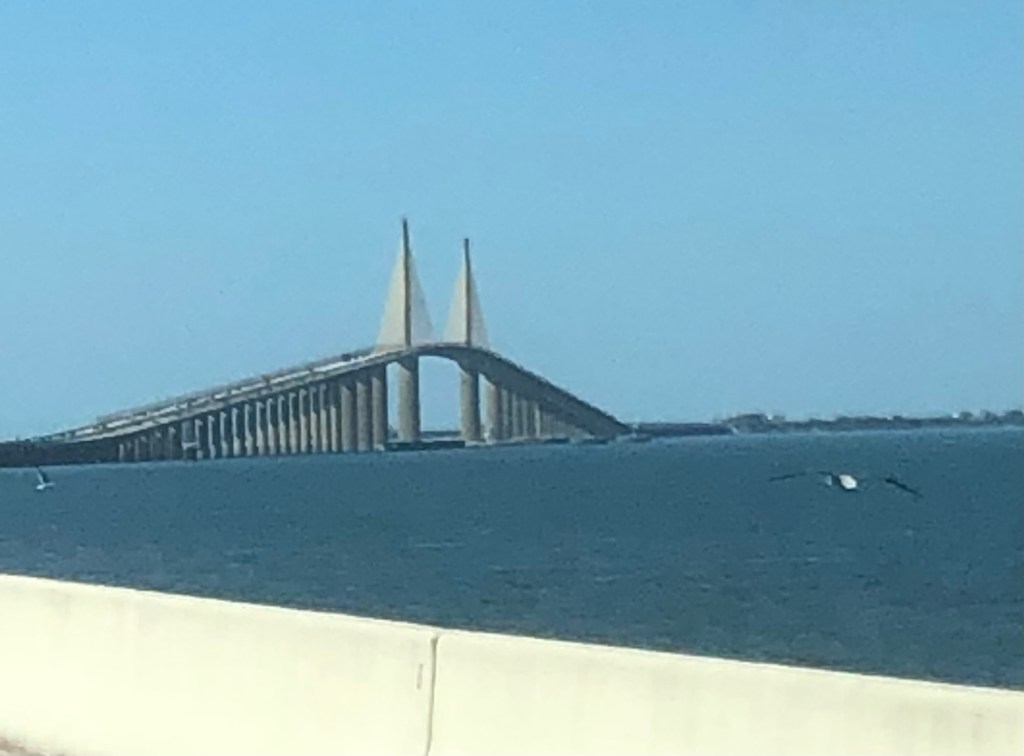
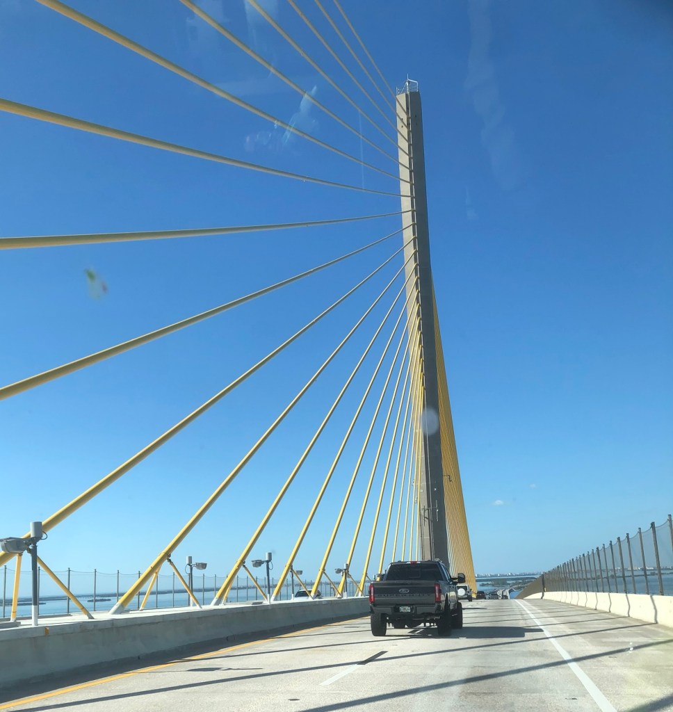
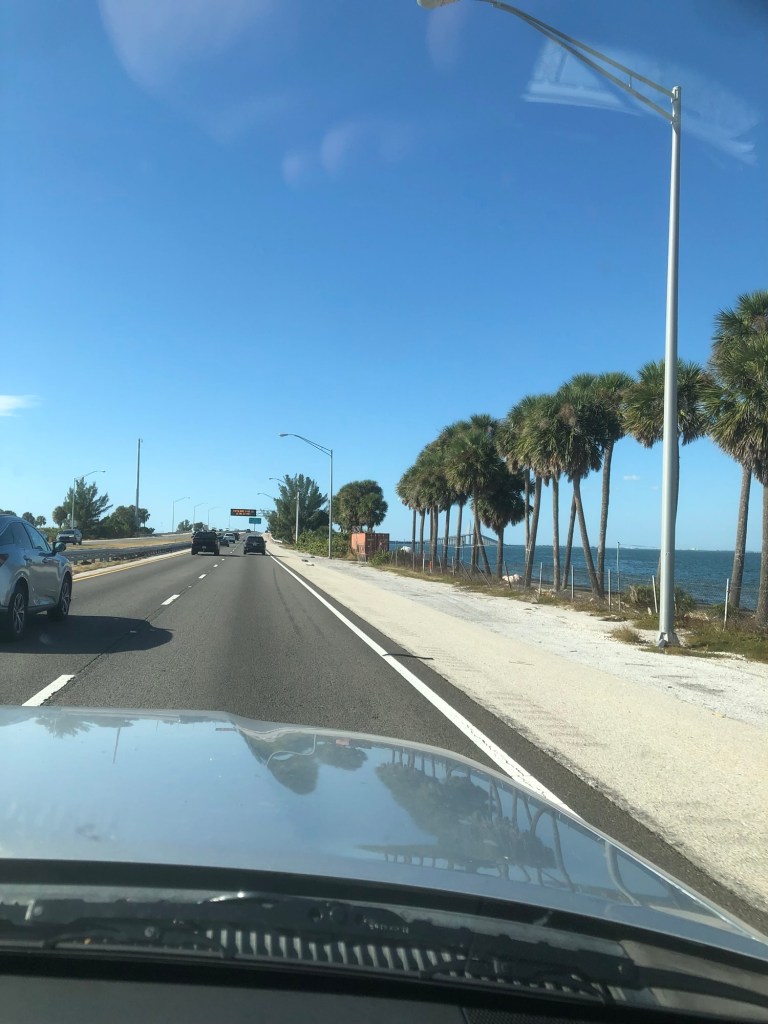
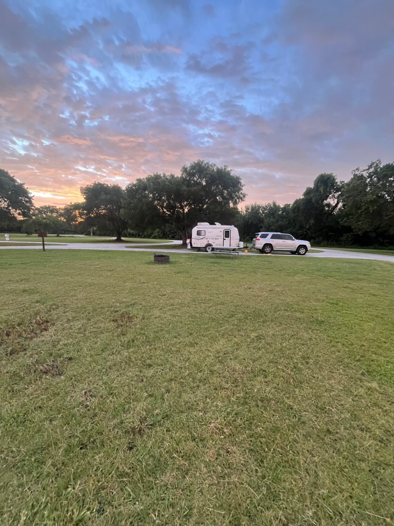
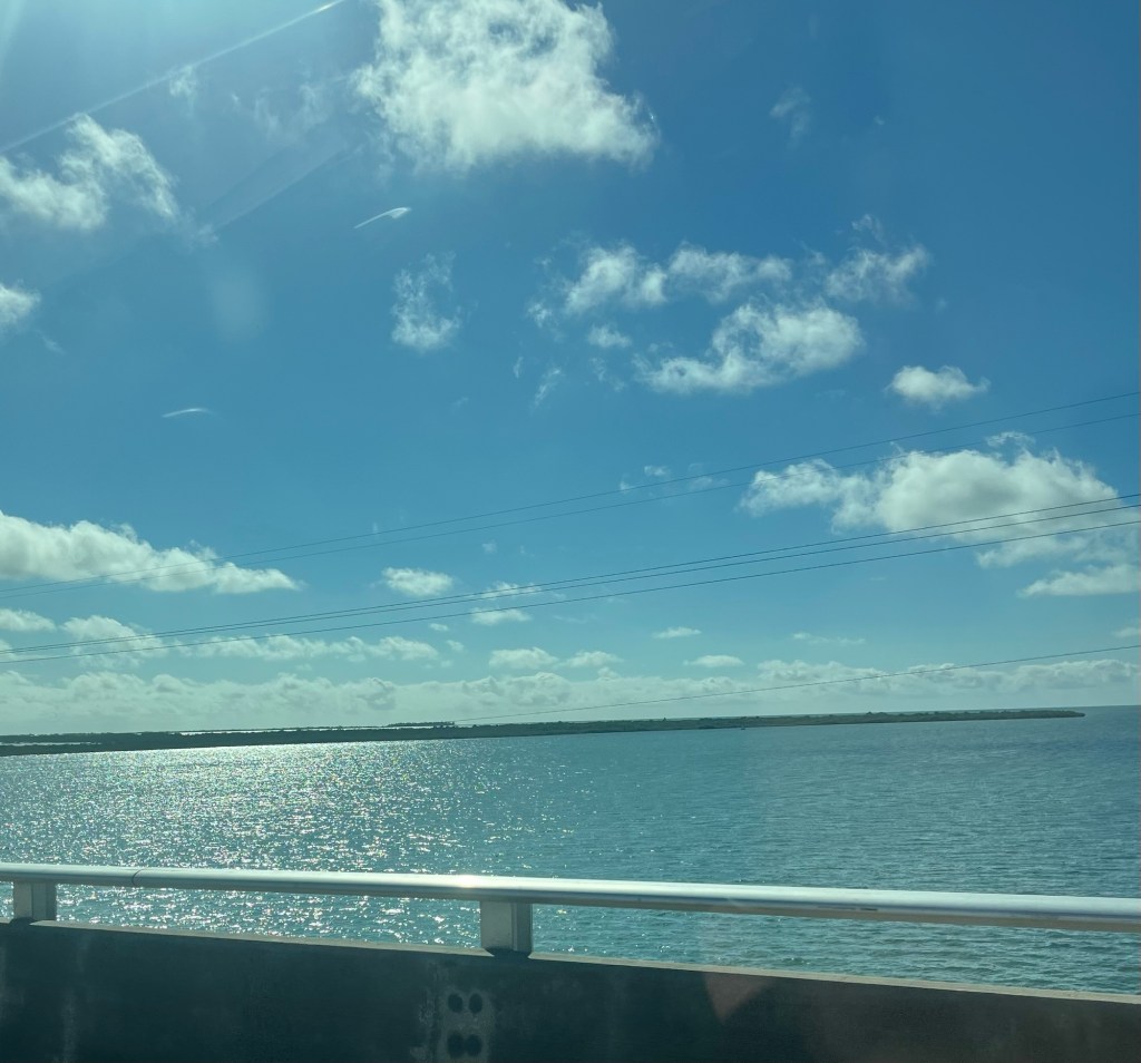
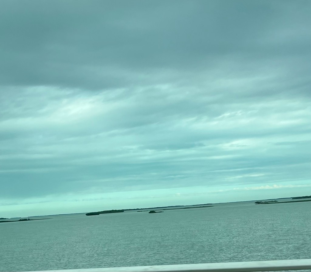
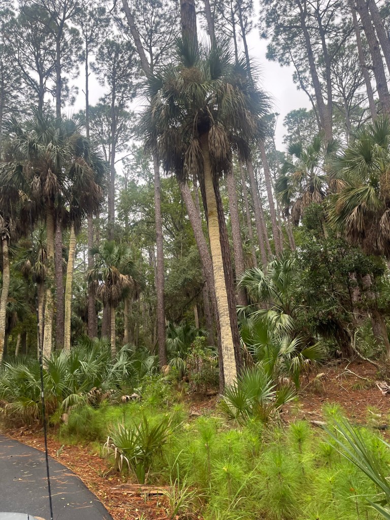
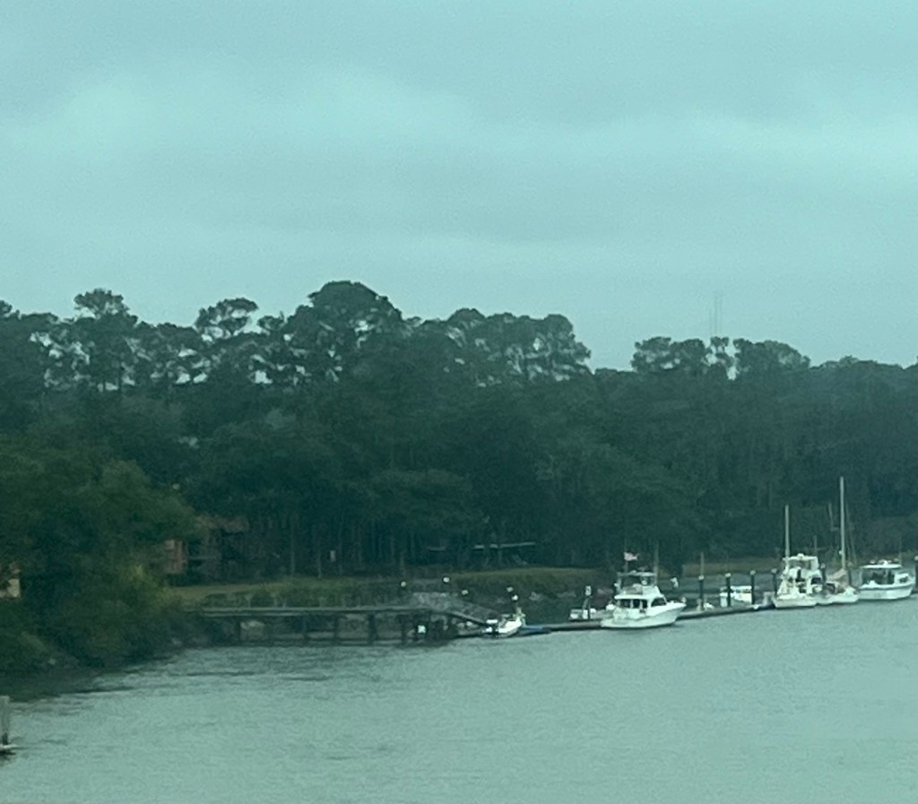
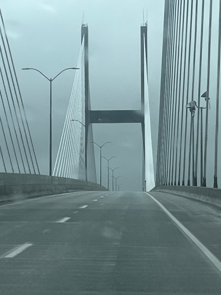
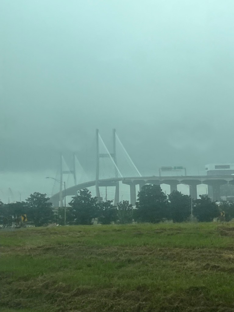
Ferns everywhere. Morning walkCampsite at Collier Seminole SPLots of water and flat terrainBridge to St PetersburgLots of water and palm trees on the drive
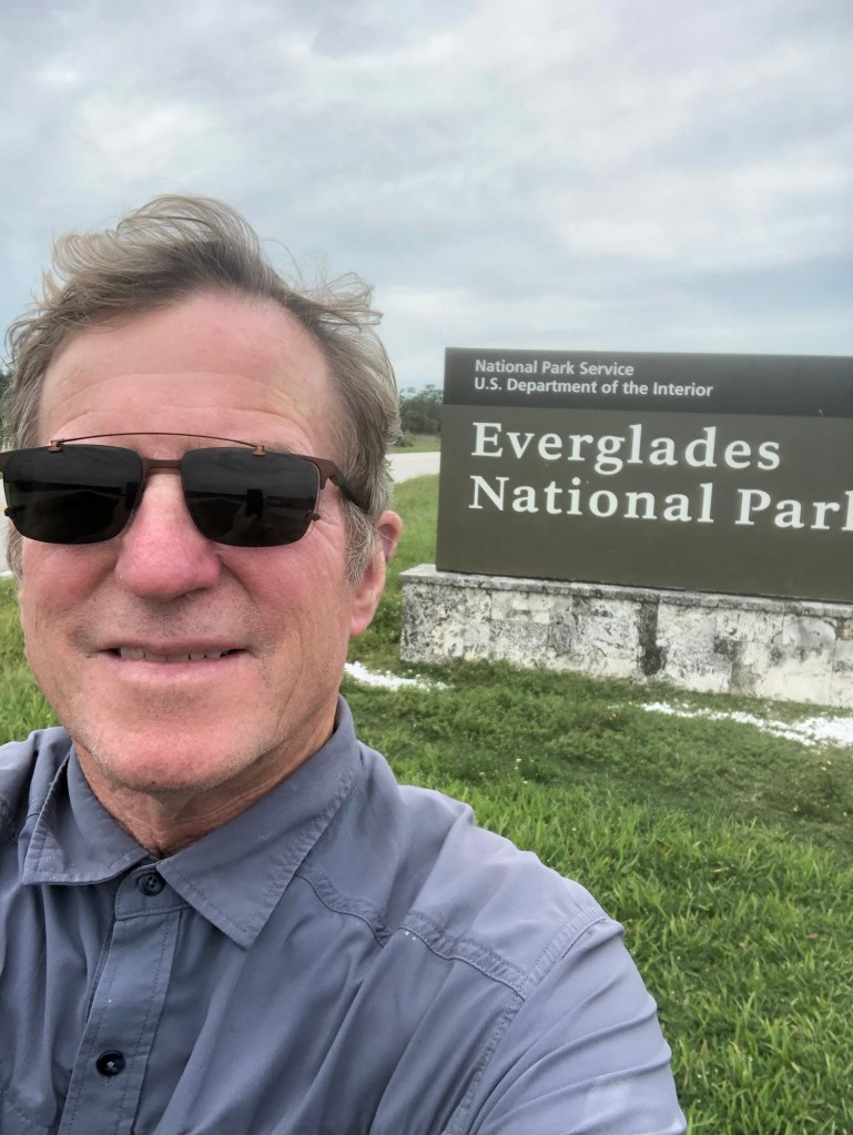
We woke up in Everglades National Park. I have never been in such a quiet place— not a sound except an occasional bird.
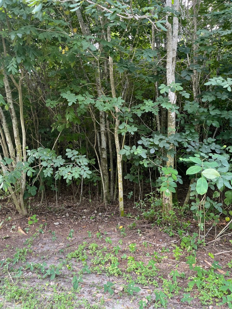
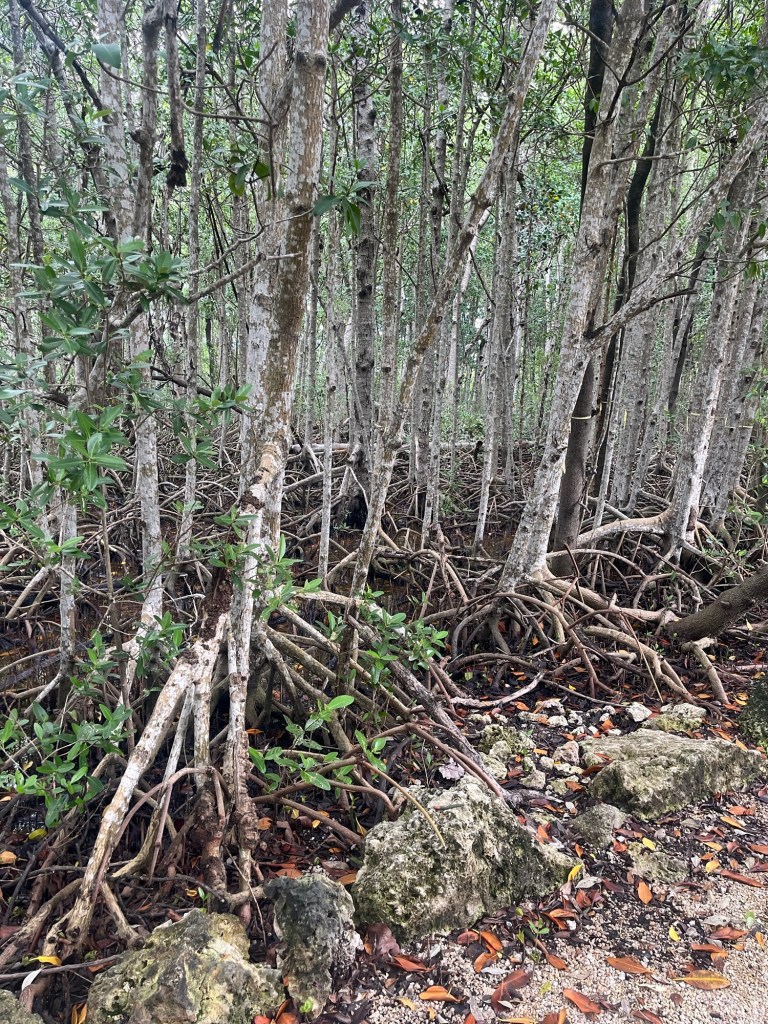
Except for the areas that have been cleared everywhere is covered with thick jungle.
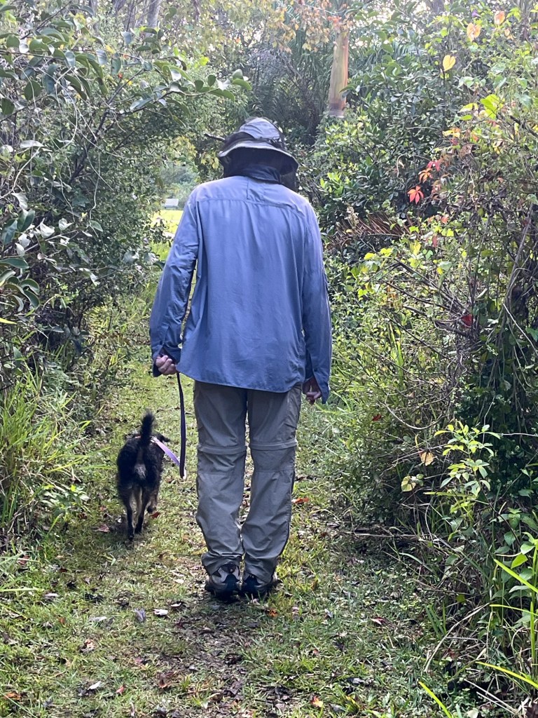
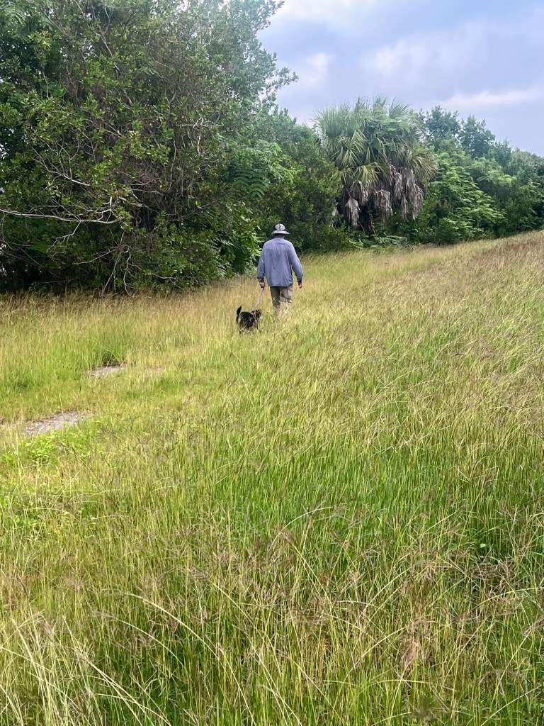
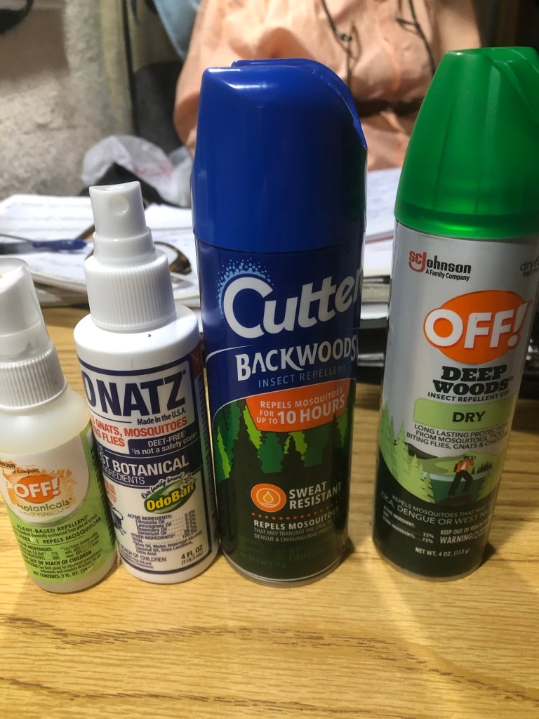
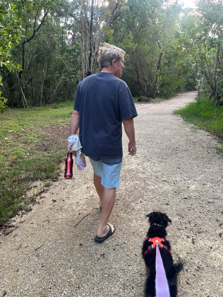
We took a short walk with mosquito repellent, clothing to cover, and mosquito nets over our hats. Before I knew how bad the biting insects were here in southern Florida and covered up, I got over 100+ bites/welts. I look like I have the measles.
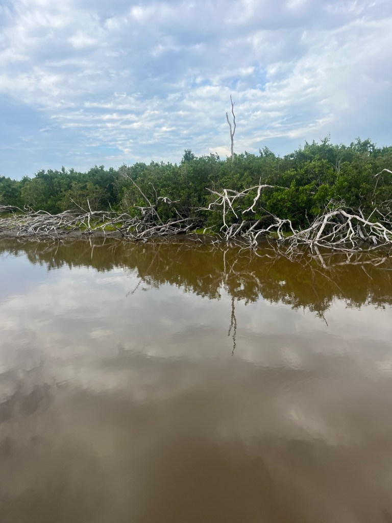
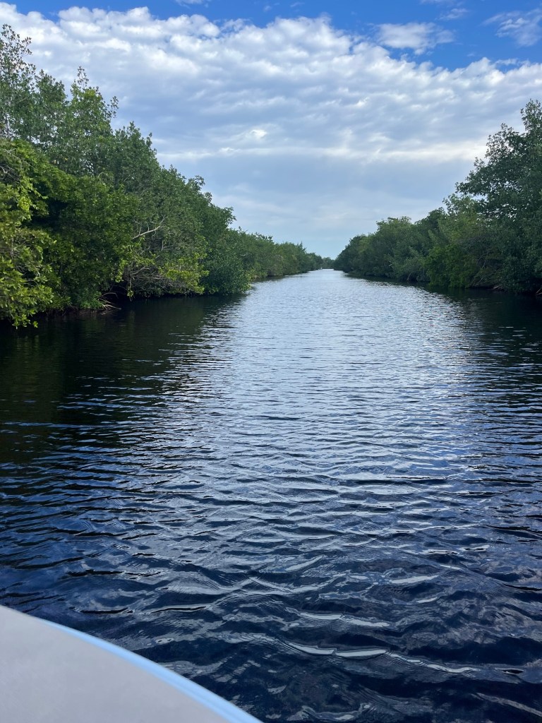
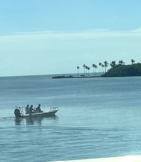
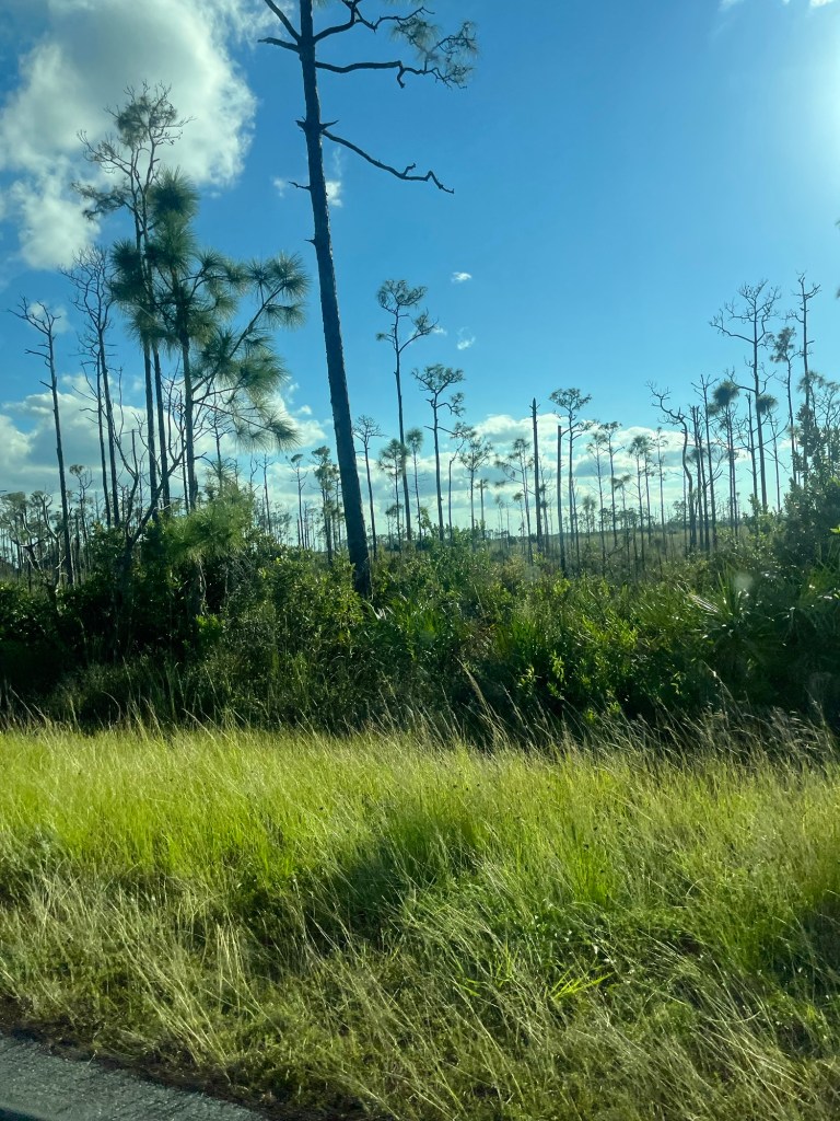
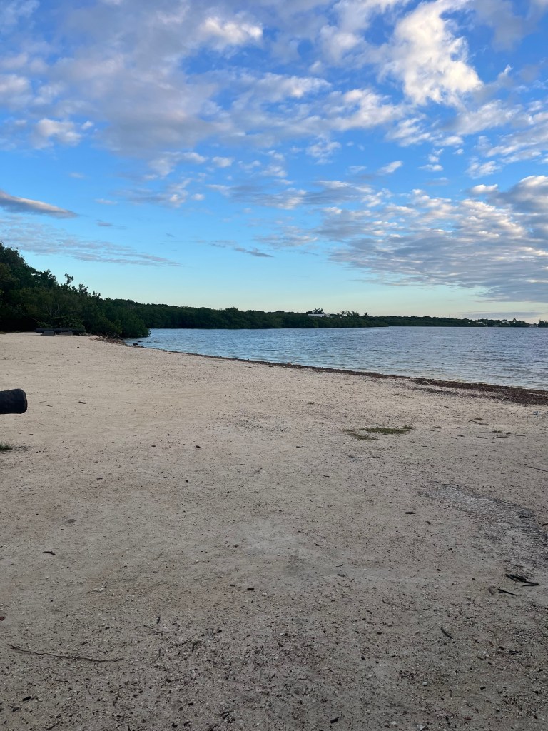
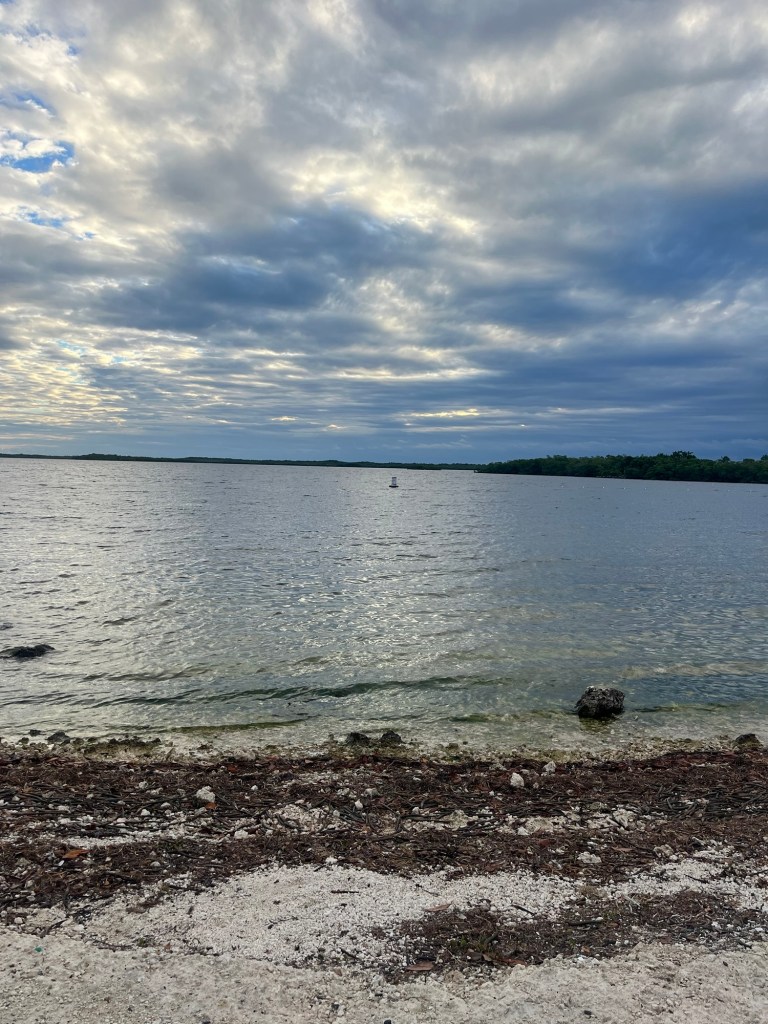
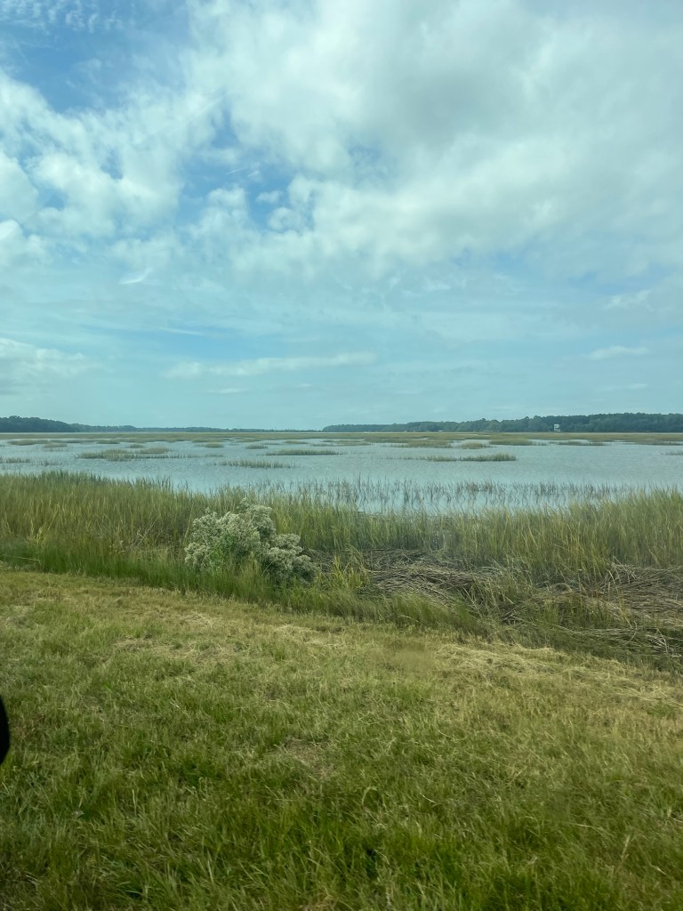
We took a small pontoon boat tour of the Everglades backcountry with an excellent guide. Everglades National Park is the third largest national park in the continental USA— 1,500,000 acres and was established in 1947. The vegetation is mostly mangroves with some Jamaican dogwood and pines. Everglades National Park is the second largest mangrove forest in the world. Most of the landmass is covered with water; there even was an elevation sign that said the elevation was 3 feet high. There are “hammocks” which are small areas never covered with water where trees and vegetation grow.
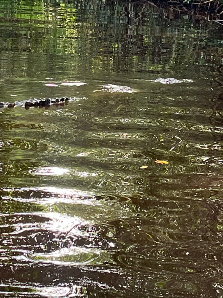
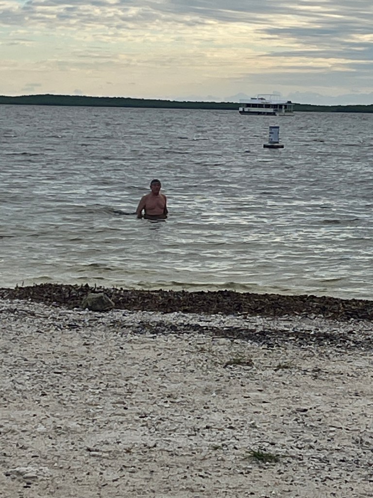
Crocodiles are saltwater reptiles and alligators are freshwater reptiles, but they coexist in the brackish water of the Everglades— the only place on earth where they coexist. We did see crocodiles, herons, and other birds, and Atlantic bottlenose dolphin.
Here are pictures from the park and our boat tour.
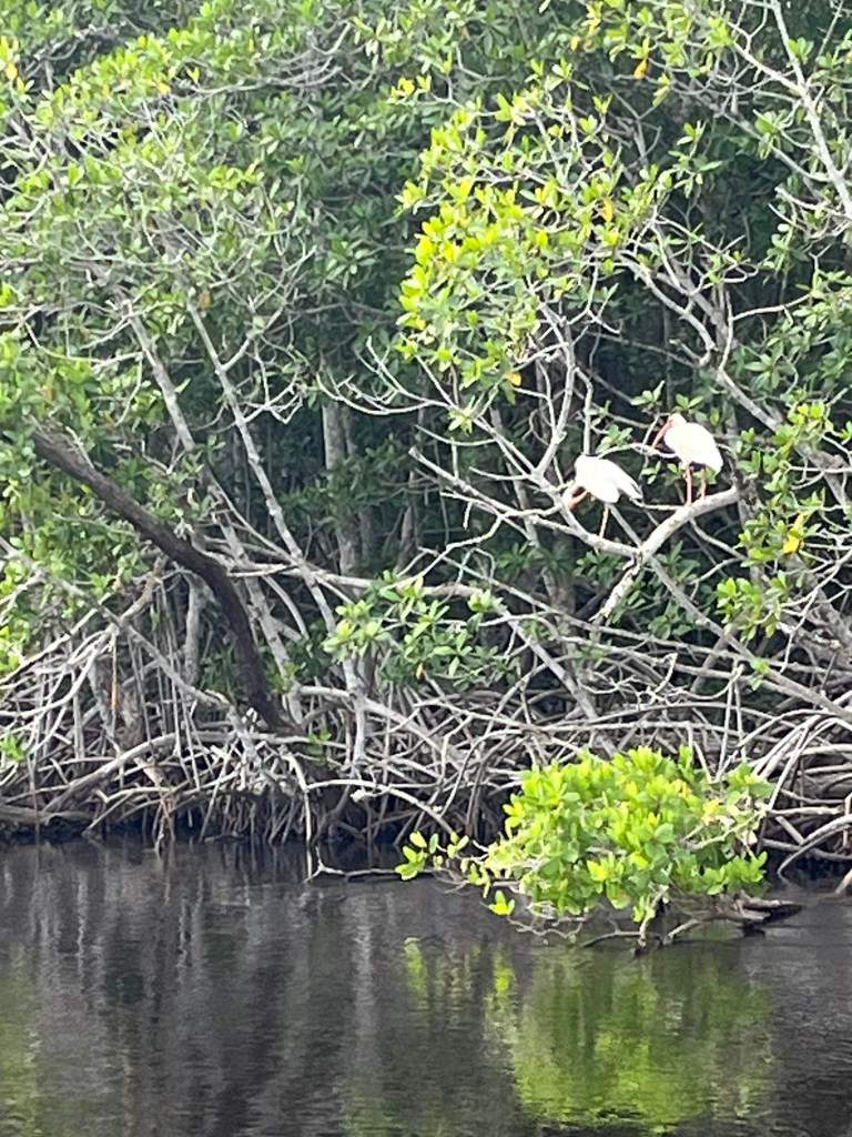
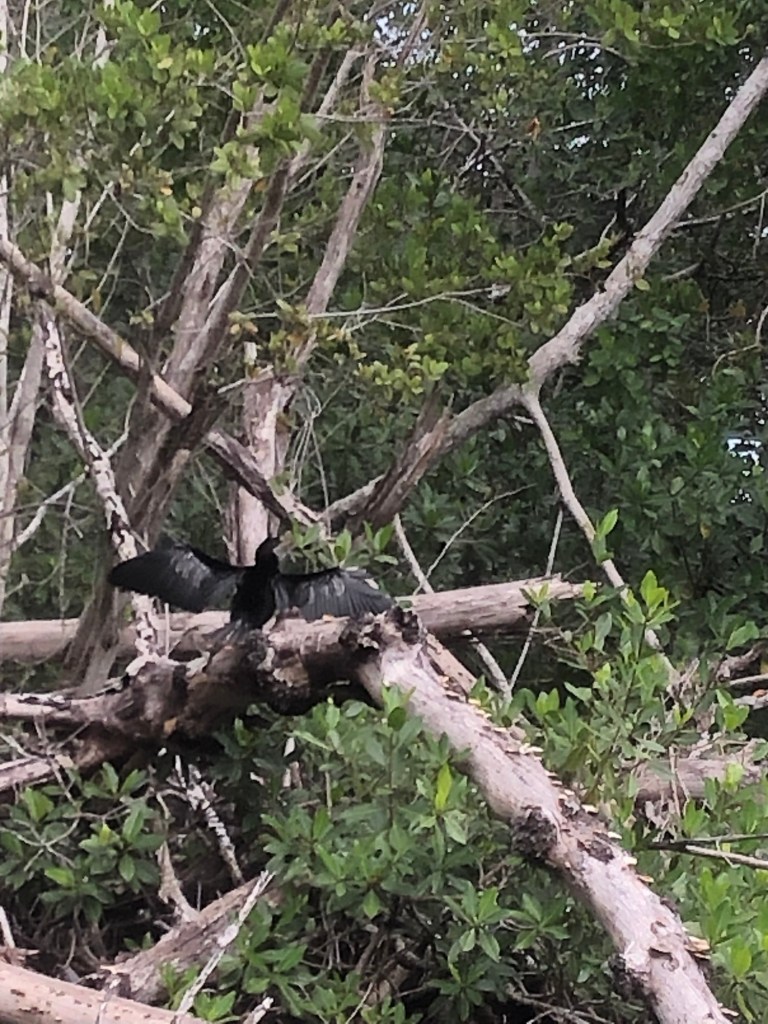
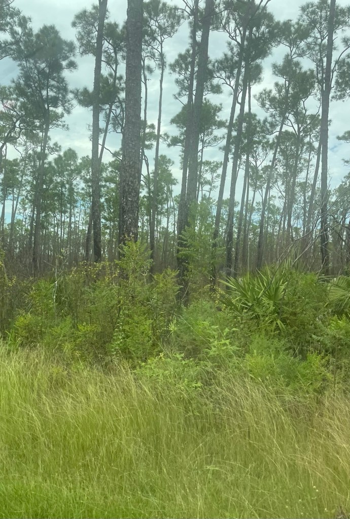
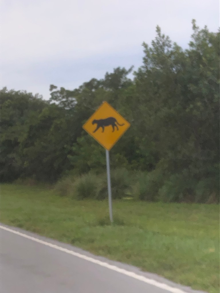
There’s a crocodile in the picture; just hard to see. White cranes in the treeMangrove roots Everglades Natl Park MarinaBlack anhingaThis is a pine tree forestThis beautiful grass is everywhere. We have seen these caution black panther signs several times.
Until a couple of days ago, our trailer thermostat did not work. We had neither heat nor air conditioning. Steve was able to replace the thermostat and,thankfully, we had air conditioning for this hot southern Florida weather.
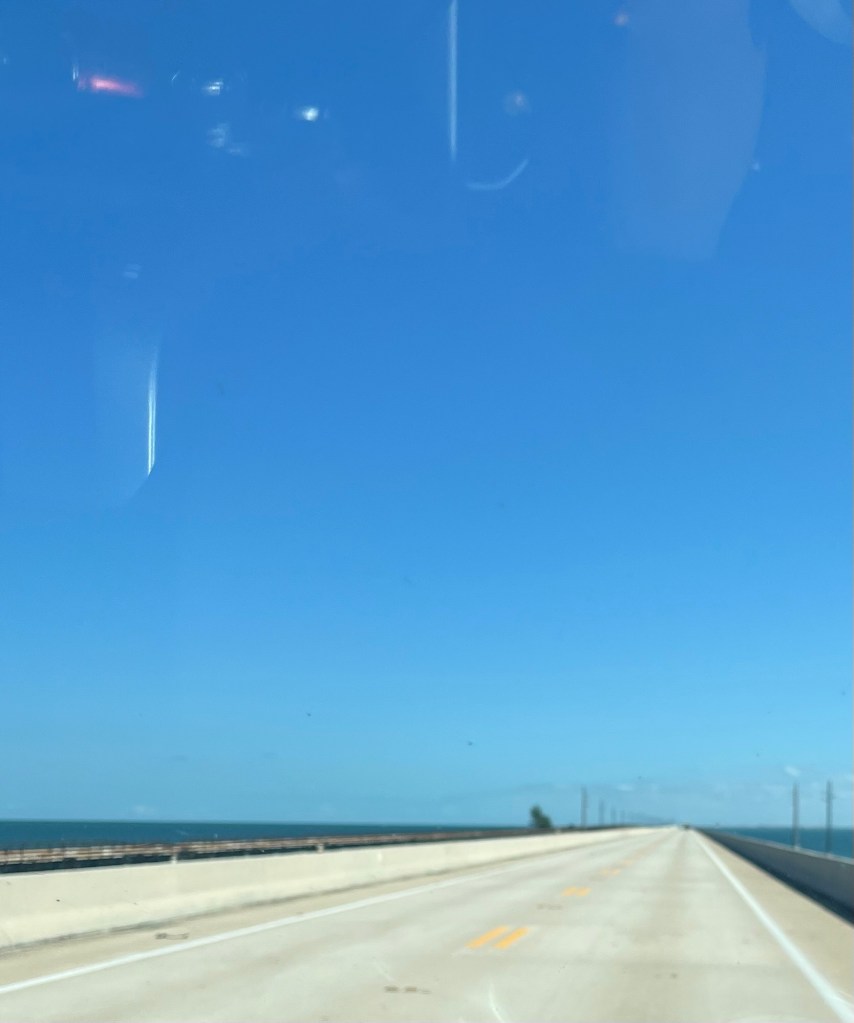
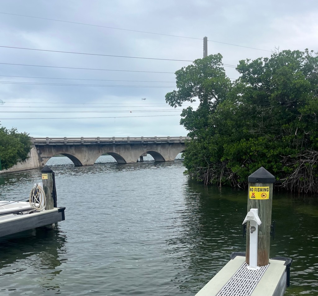
We left the Keys headed to Everglades National Park. There are 42 bridges on the 113 miles of the Overseas Highway that runs down the center of the Keys.
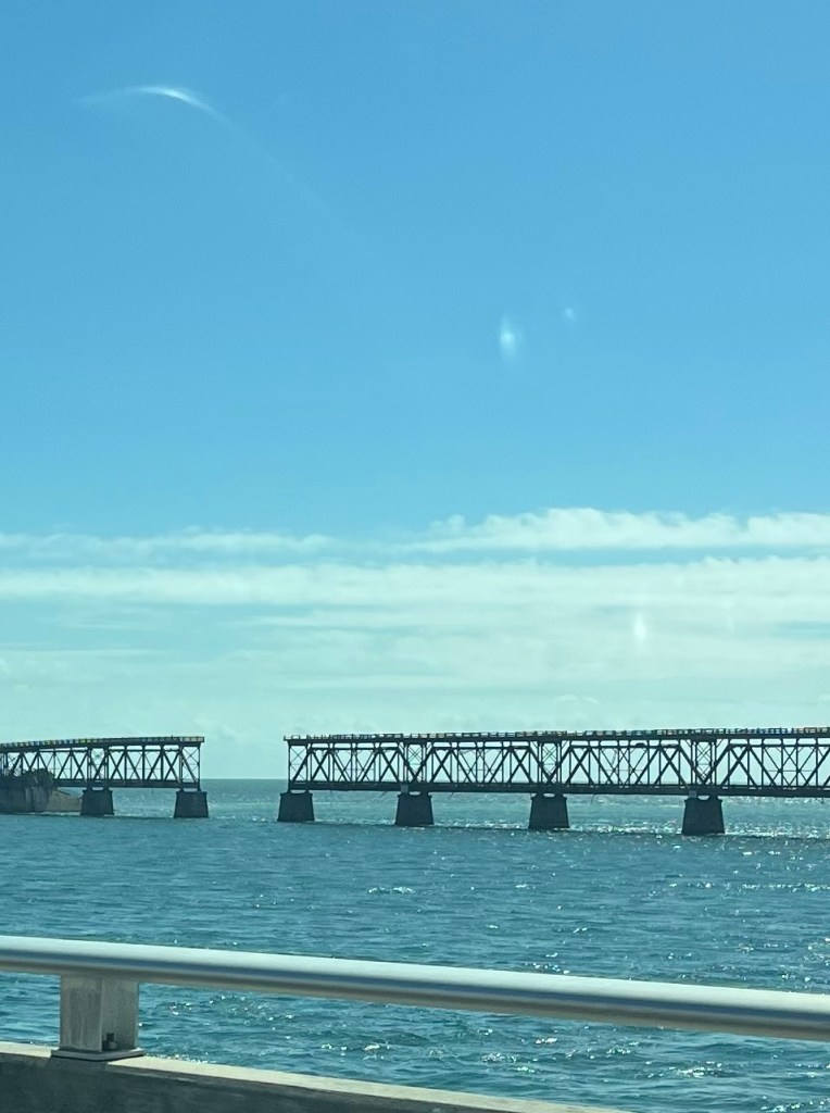
The old abandoned railroad bridge. The start of 7 mile bridgeGood bye Florida Keys
The Keys has the largest concentration of bald eagles in the continental United States, which we often saw circling overhead. The weather had been clouds with some sun in the 70s and 80s. Today it is clear blue skies. We have both been “eaten“ by no-see-ums (midges) and me, especially. Since we are headed to the Everglades, where they will probably be worse, I stopped at a thrift store for a long sleeve, lightweight shirt, and long lightweight pants for protection.
Ready to do battle.
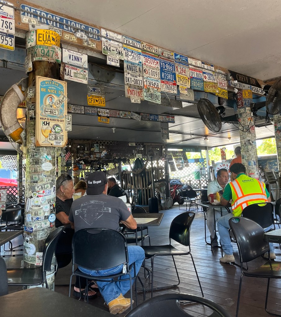
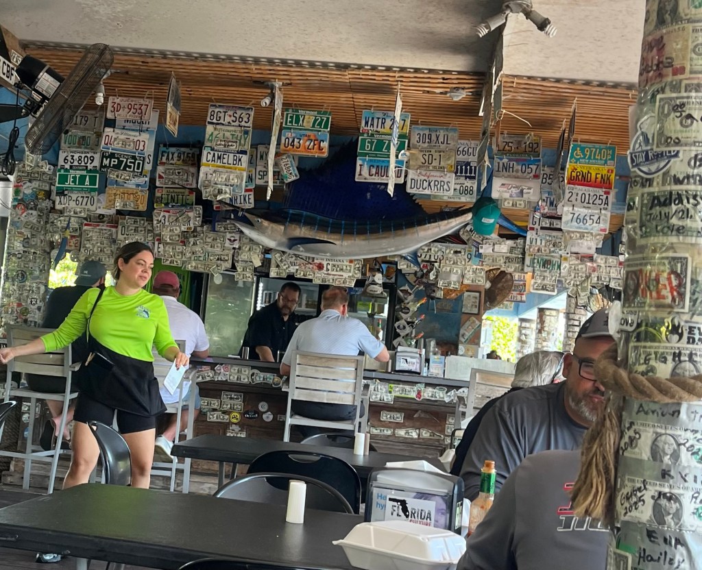
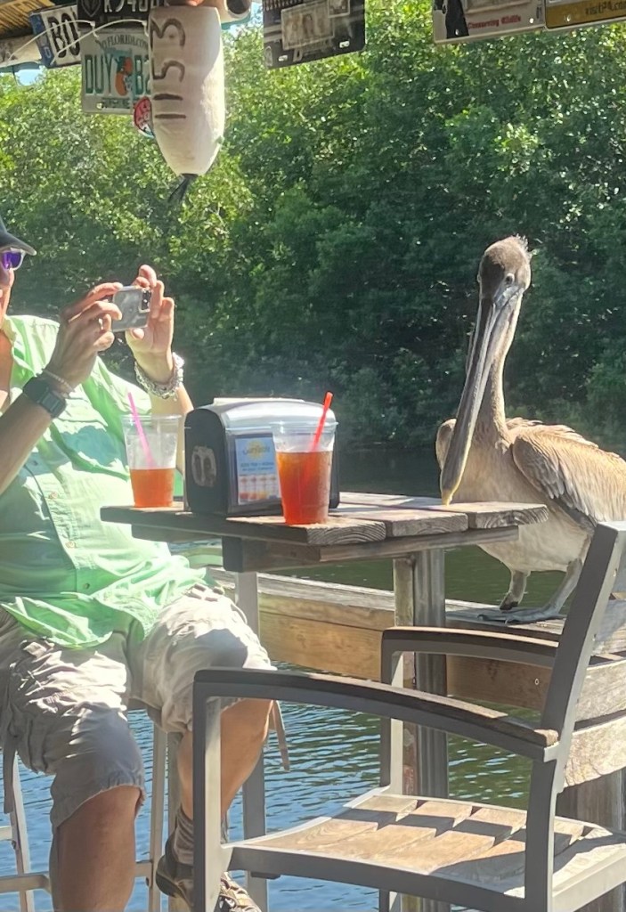
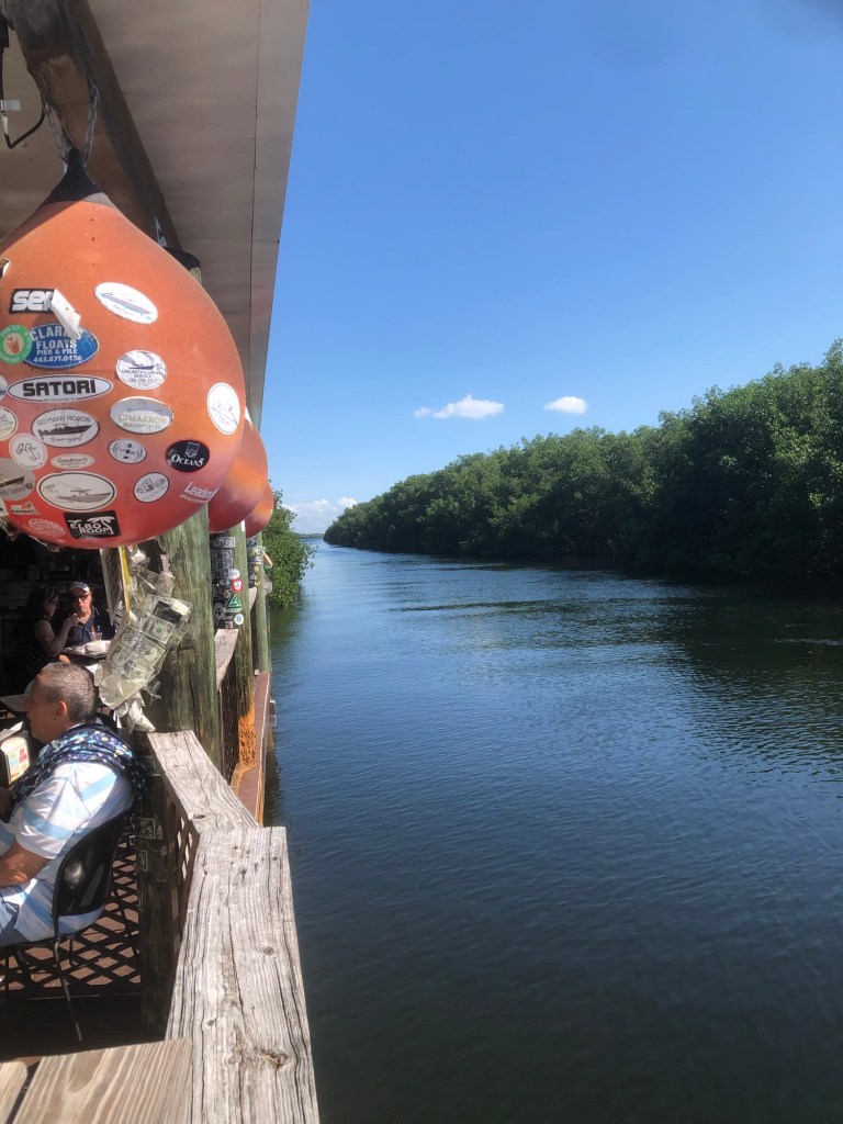
Robert Frost said taking the road less traveled can make all the difference. We have followed this idea so many times on this trip. Today was one of those days and we found Alabama Jack’s for lunch. I had conch salad and Steve had mahi tacos — both delicious. 
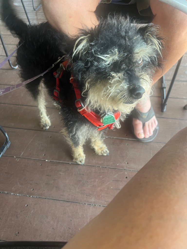
An uninvited guest at the table near us. Jasper chilling under the table during lunch.
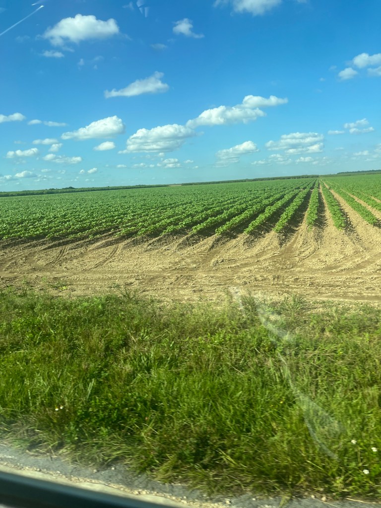
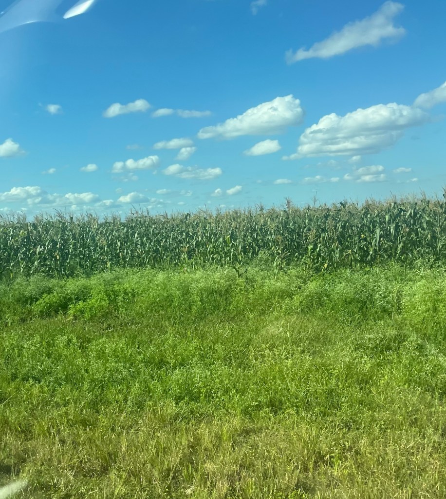
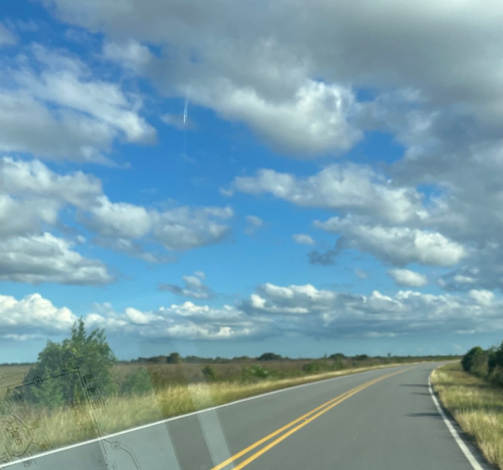
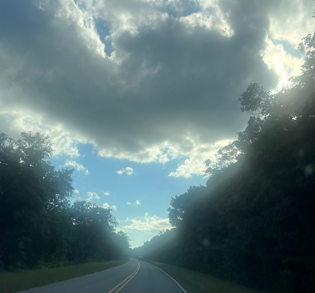
On to the Everglades. Passed lots of agricultural fields.
Pictures from the drive through the Everglades to our campground.
Don’t forget to vote if there is an election in your area.
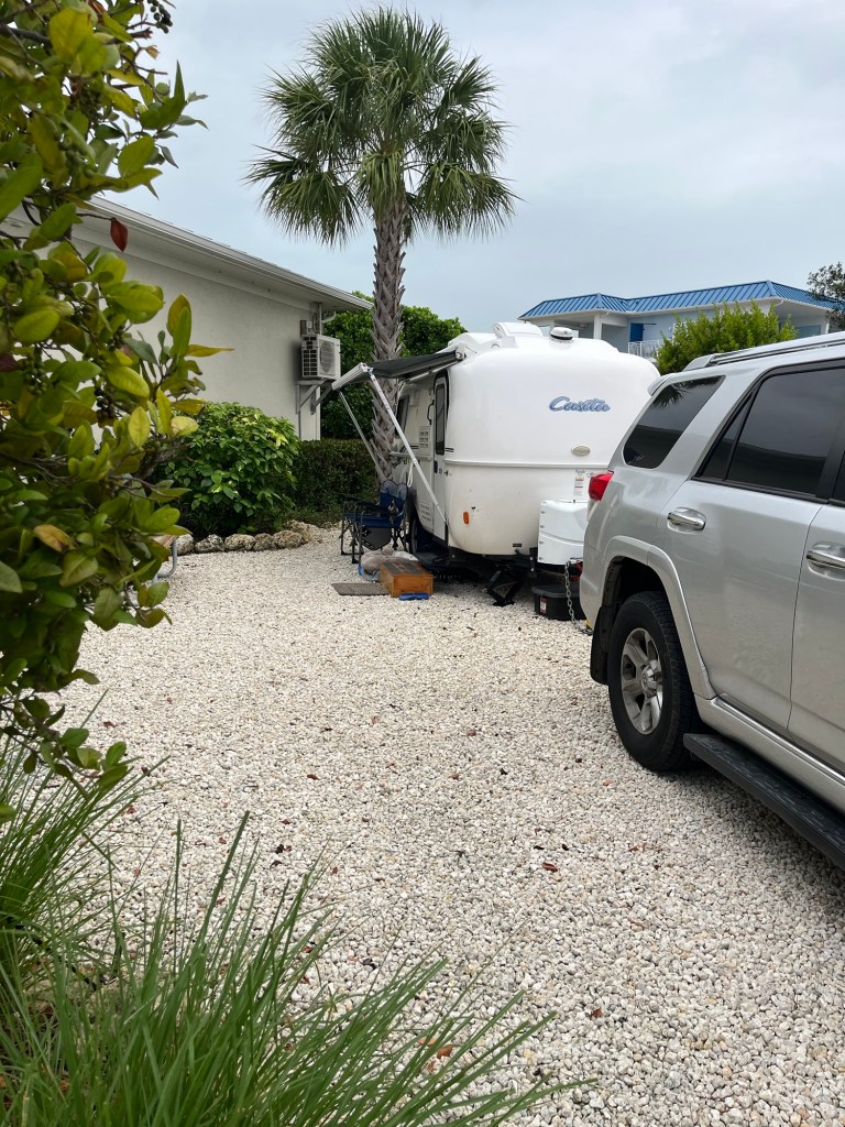
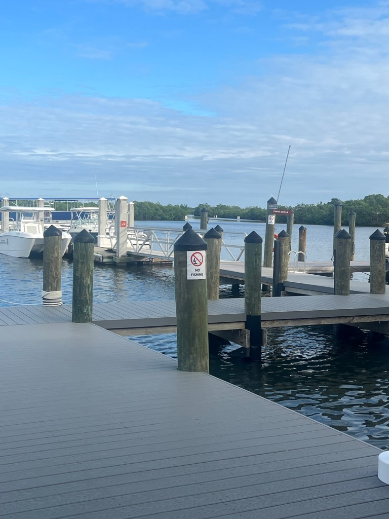
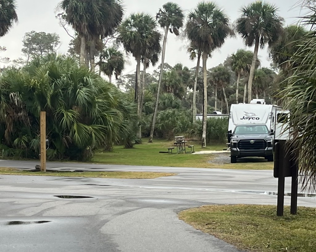
We are staying at KOA Sugarloaf Key which is about 19 miles north of Key West. I hesitate to call this a campground; it is more like a resort with pool, hot tub, café, marina, and pub. All the state parks were either full or closed. This is very nice.
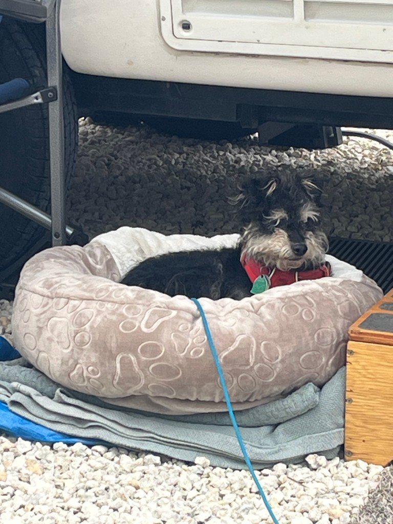
Jasper says he is quite comfortable here.
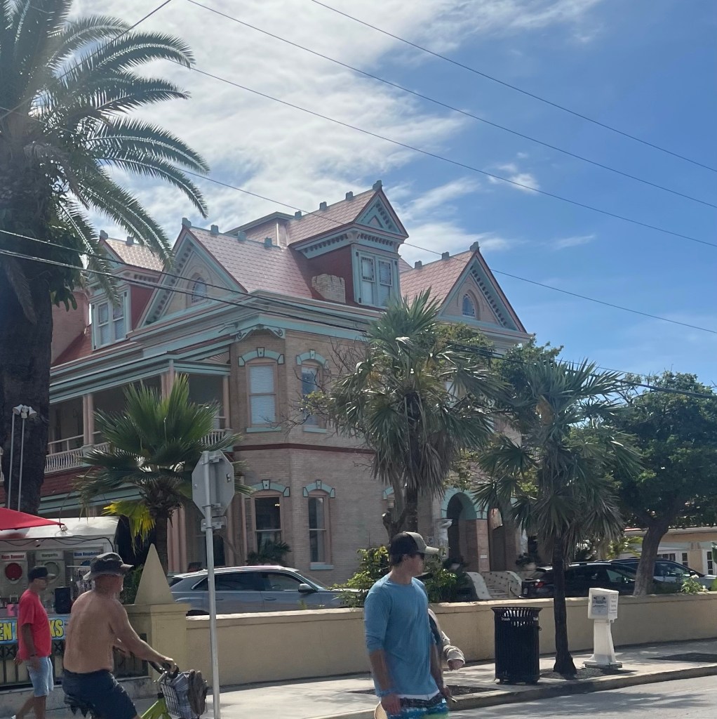
We drove to Key West.
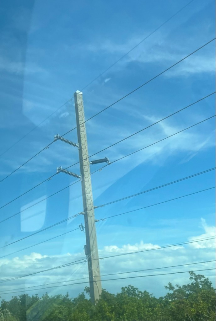
Due to potential hurricanes, the electrical poles are quite substantial.
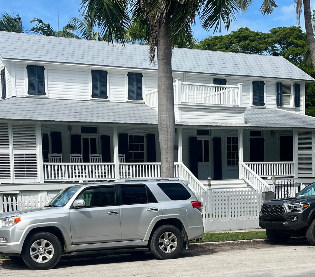
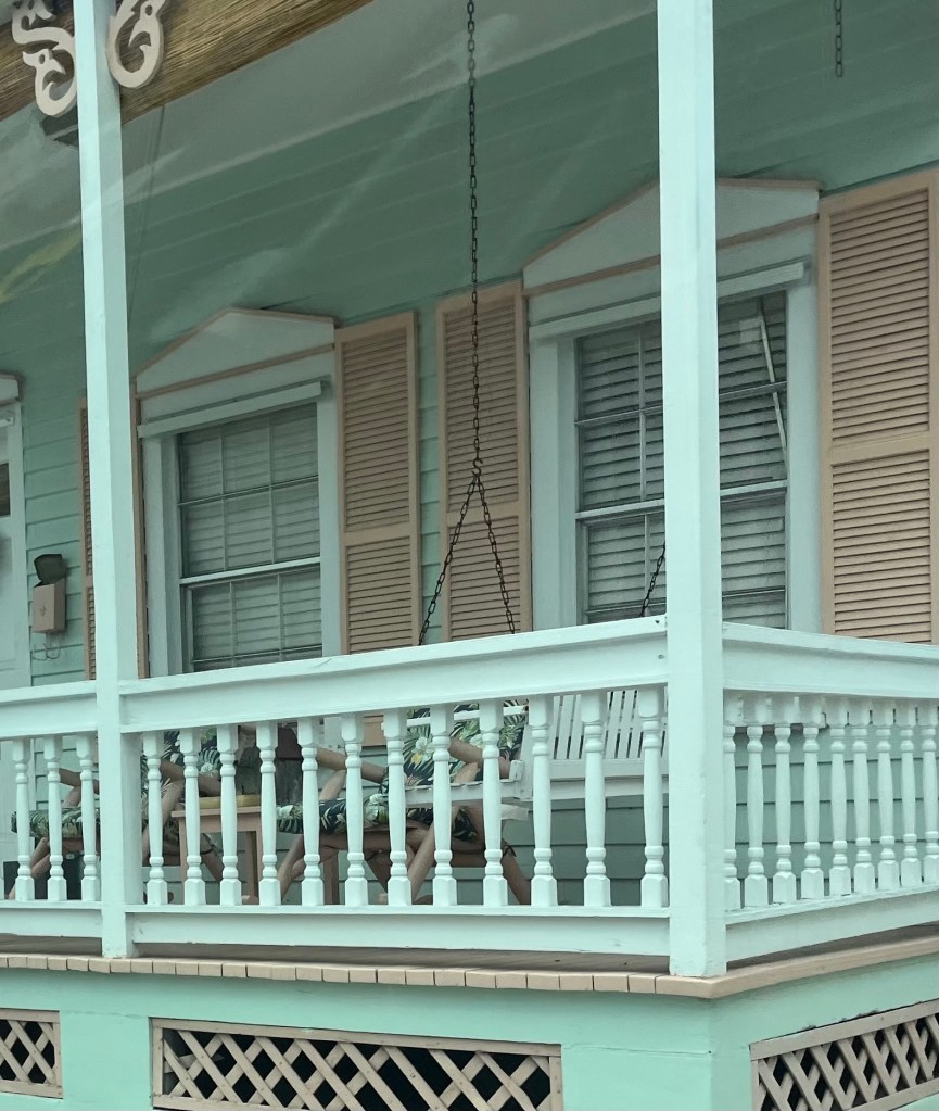
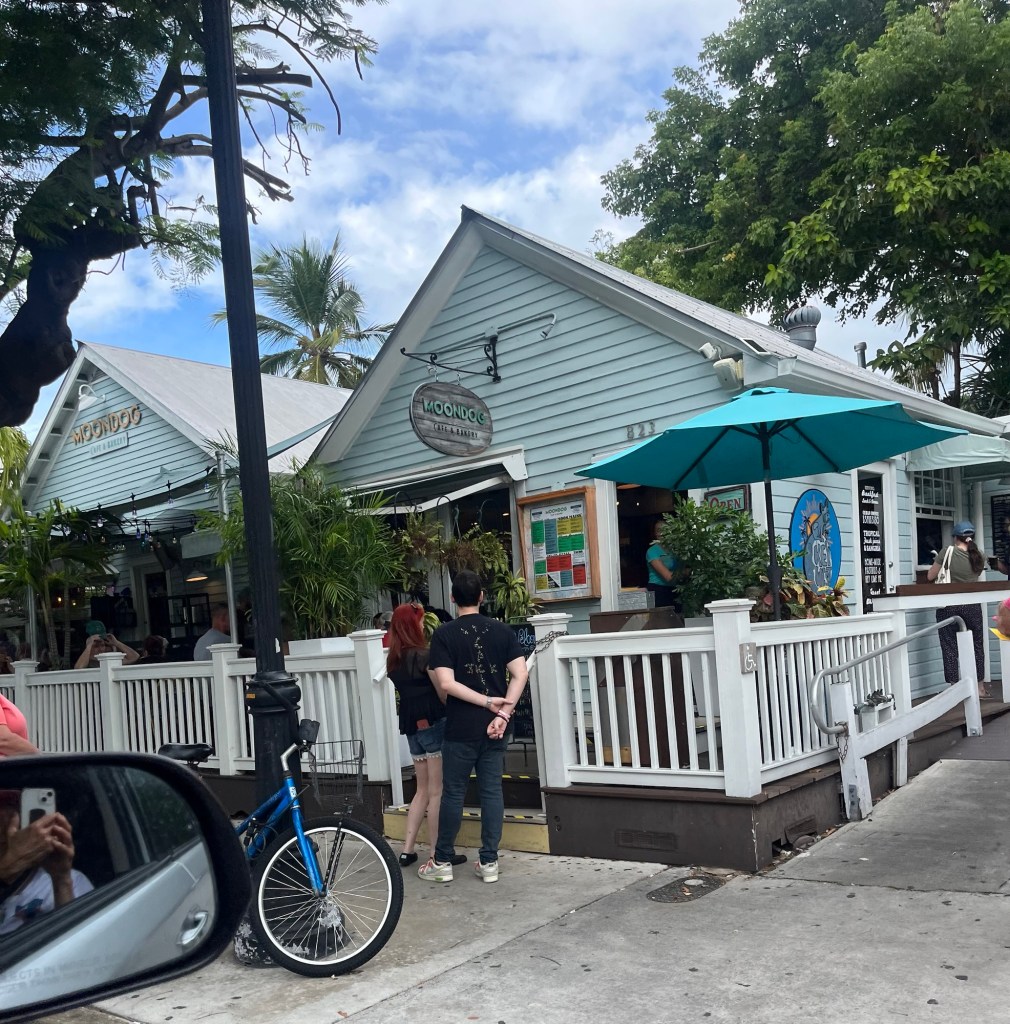
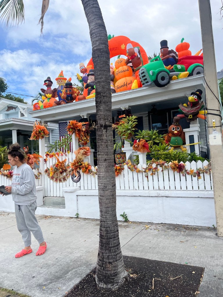
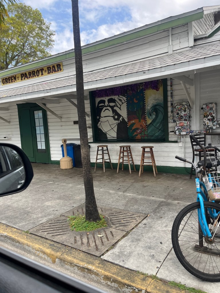
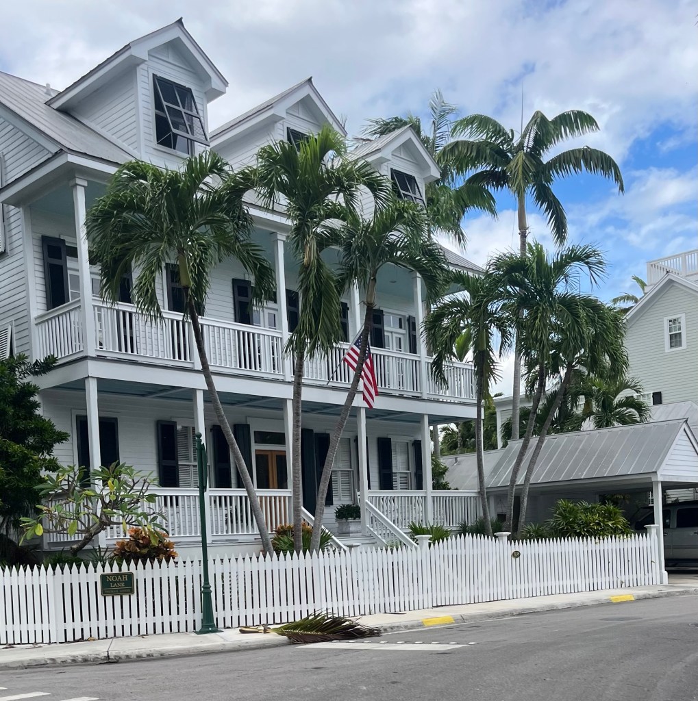
Street views in Key West.
The population in Key West is 26,000+. Most of the city looks like a typical American city, but the historic district is really beautiful.
Key West originally prospered on revenues from shipwreck salvage; there were so many shipwrecks. In 1910 the Overseas Railroad was completed out to Key West and ran continuously until a 1935 hurricane destroyed it and it was never rebuilt. Since then several versions of the Overseas Highway have been built to replace the railroad.
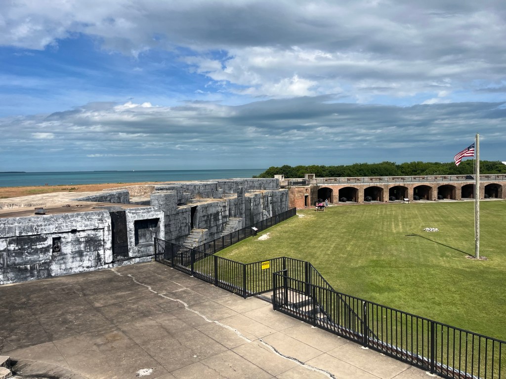
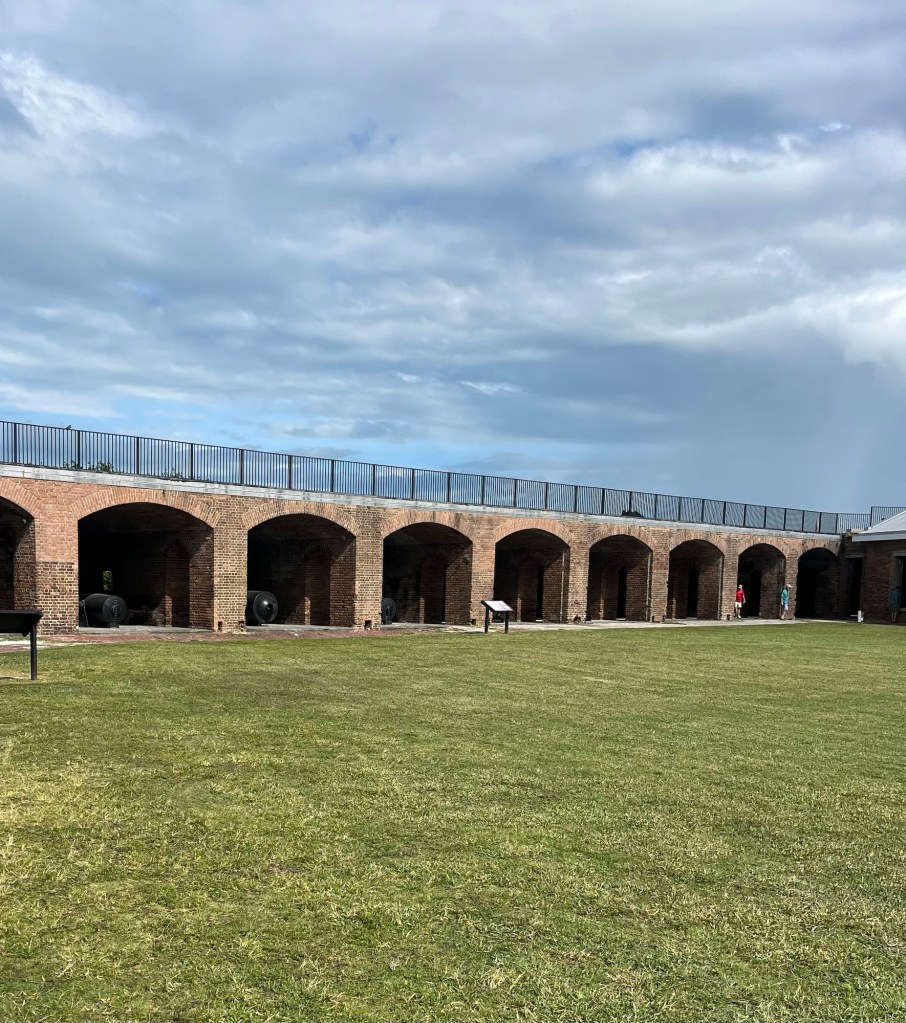
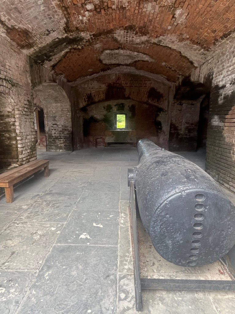
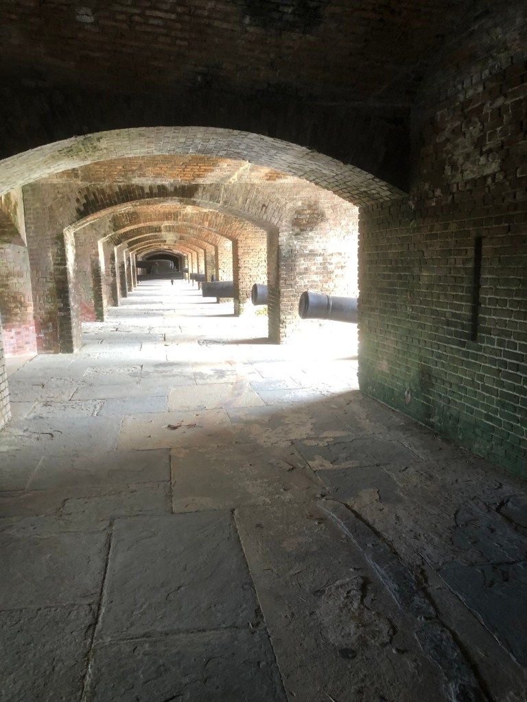
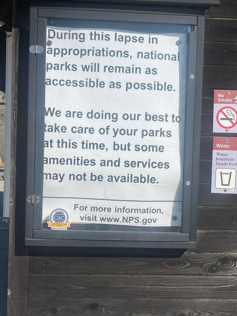
Fort Zachary Taylor was built in 1845 on a hard rock shoal 1100 feet off the south west point of the island with walls over 5 feet thick. In 1866, the Fort mounted 198 cannons and housed 450 men. It was accessed by a causeway and drawbridge over a moat. From the northwest bastion there is an excellent view of the Key West Harbour. During World War I and II the Fort protected the submarine and destroyer forces stationed at the nearby US Naval Station.
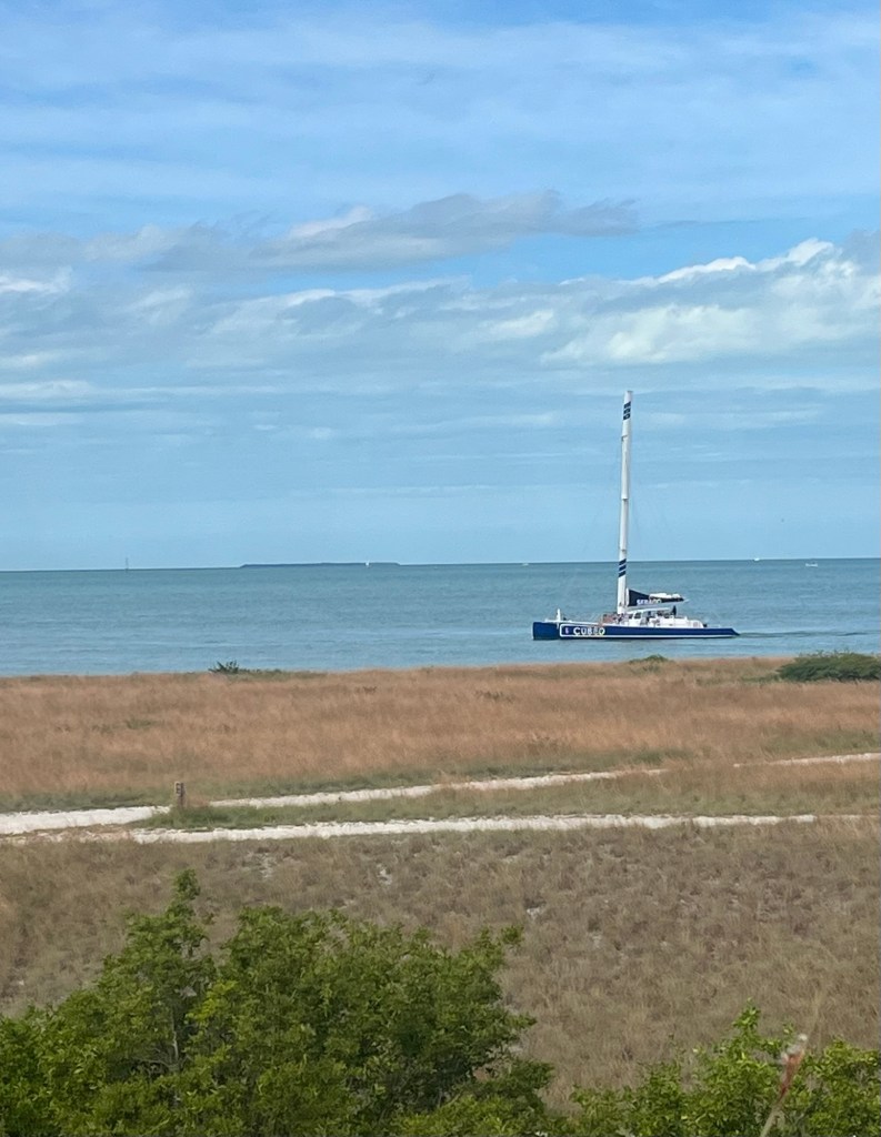
Key West Harbor view
We spent a couple of hours at this beach, which is the southernmost point of the United States plus a delightful beach.
Tomorrow we will head north/northwest to the Everglades National Park.
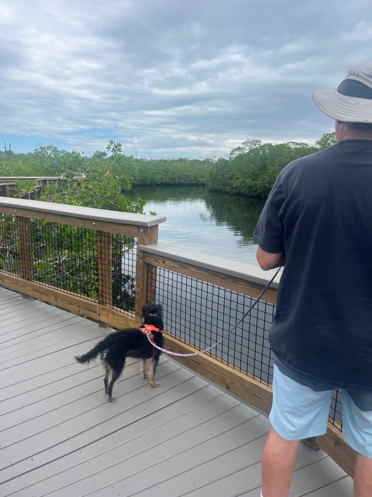
We spent the morning at John Pennekamp State Park. We started with a walk to the beach so Steve could have a morning swim.
We took a walk around the park through mangrove swamps.
Key lime tree
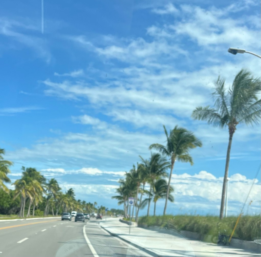
We then headed south to Key West along Highway 1, the Overseas Highway, –“the Causeway” which 127 miles long. Highway 1 takes you through towns, beaches, views of the ocean, and across numerous bridges. The keys are a coral archipelago forming the southern most part of the continental United States. It divides the Atlantic Ocean to the east and the Gulf of Mexico to the west. As you can imagine, the major industries are fishing and tourism.
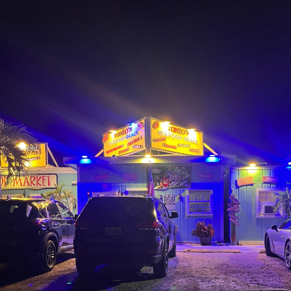
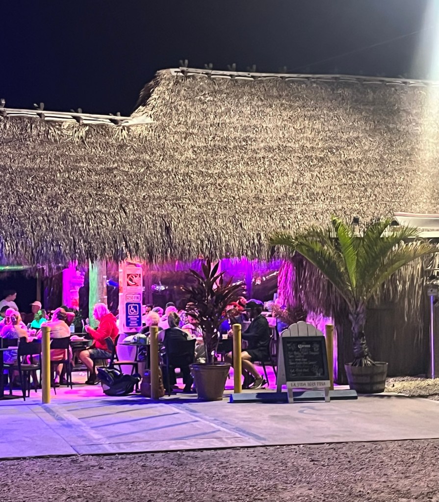
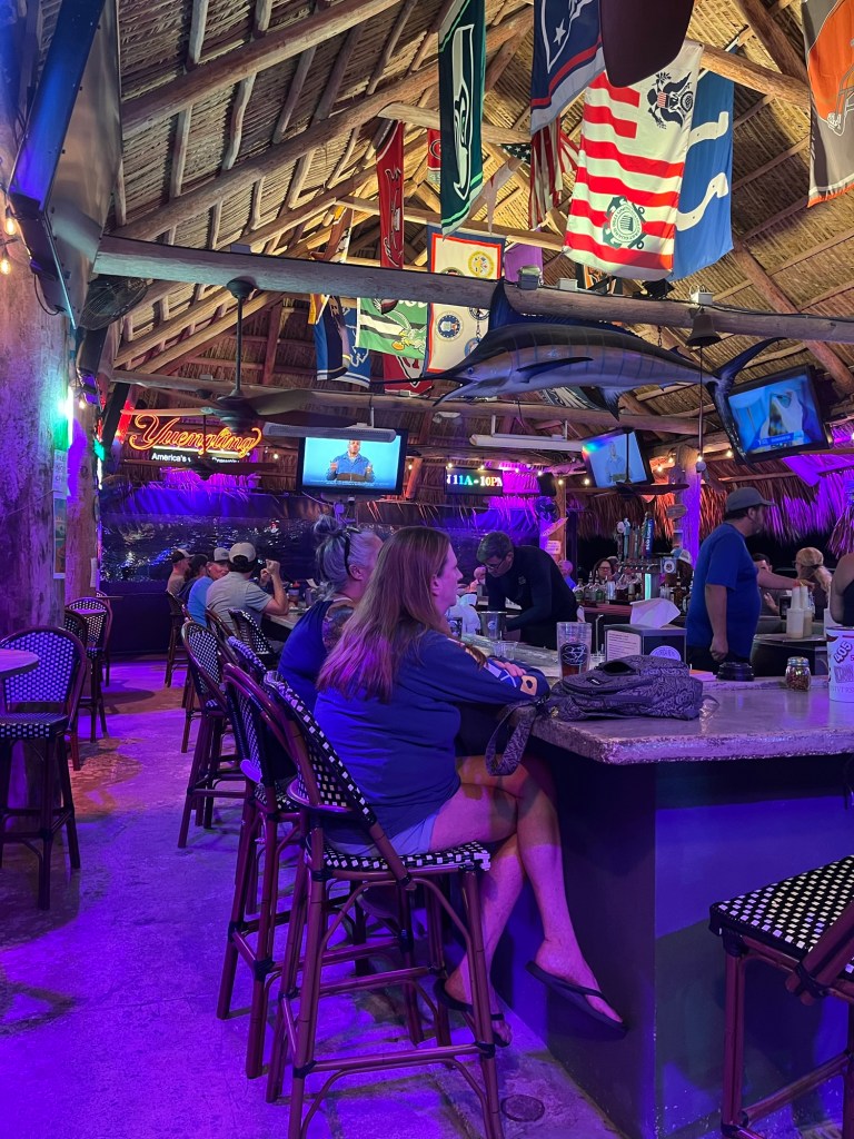
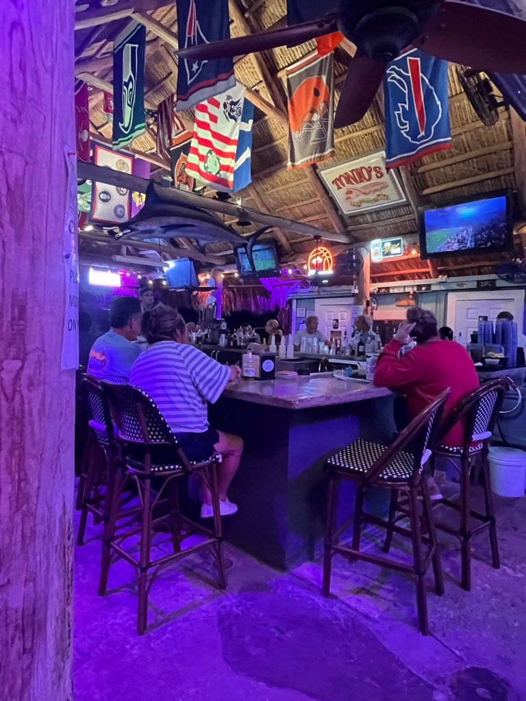
We found this great restaurant—Tonio’s Seafood Shack and Tiki Bar— for a delightful dinner of blackened shrimp and grilled snapper.
Happy Halloween! This morning, we left my cousin’s house and headed south towards Key West. The traffic, drivers, and directional signs around Miami were the worst we’ve seen on this whole trip.
Miami Out to Key Largo
Key Largo bills themselves as “the diving capital of the world”. It is the first island and first town of the Florida Keys. There is the only living coral reef in the continental United States off the shore of Key Largo. There is a diveable ship wreck, and the 9 foot bronze statue “Christ of the Abyss” sits in 25 feet of water. The 1948 film titled “Key Largo” with Edward G Robinson, Lauren Bacall, and Humphrey Bogart was filmed here. The Beach Boys song Kokomo references Key Largo.
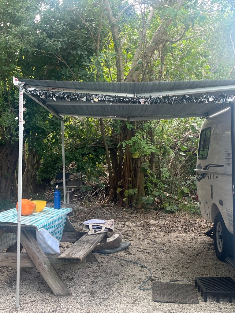
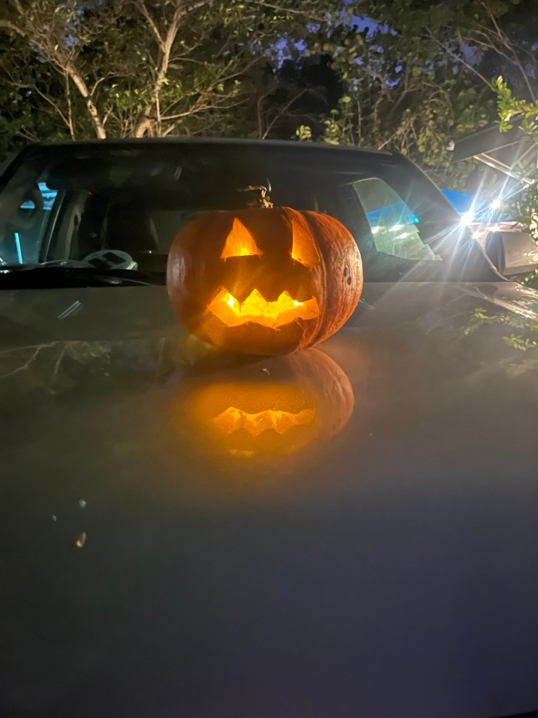
We are camping at the John Pennekamp Coral Reef State Park. Our campsite is ready for Halloween with our pumpkin, a bowl of candy should we get any trick-or-treaters, and a little decorations along the edge of our awning.
Happy Halloween 🎃 We are keeping an eye on Jasper Marina at the campgroundSteve’s Jack-o-lattern
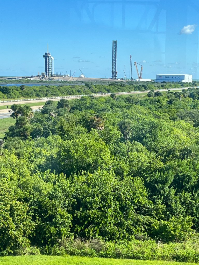
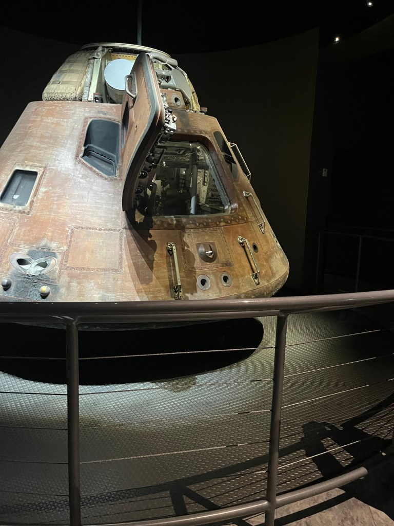
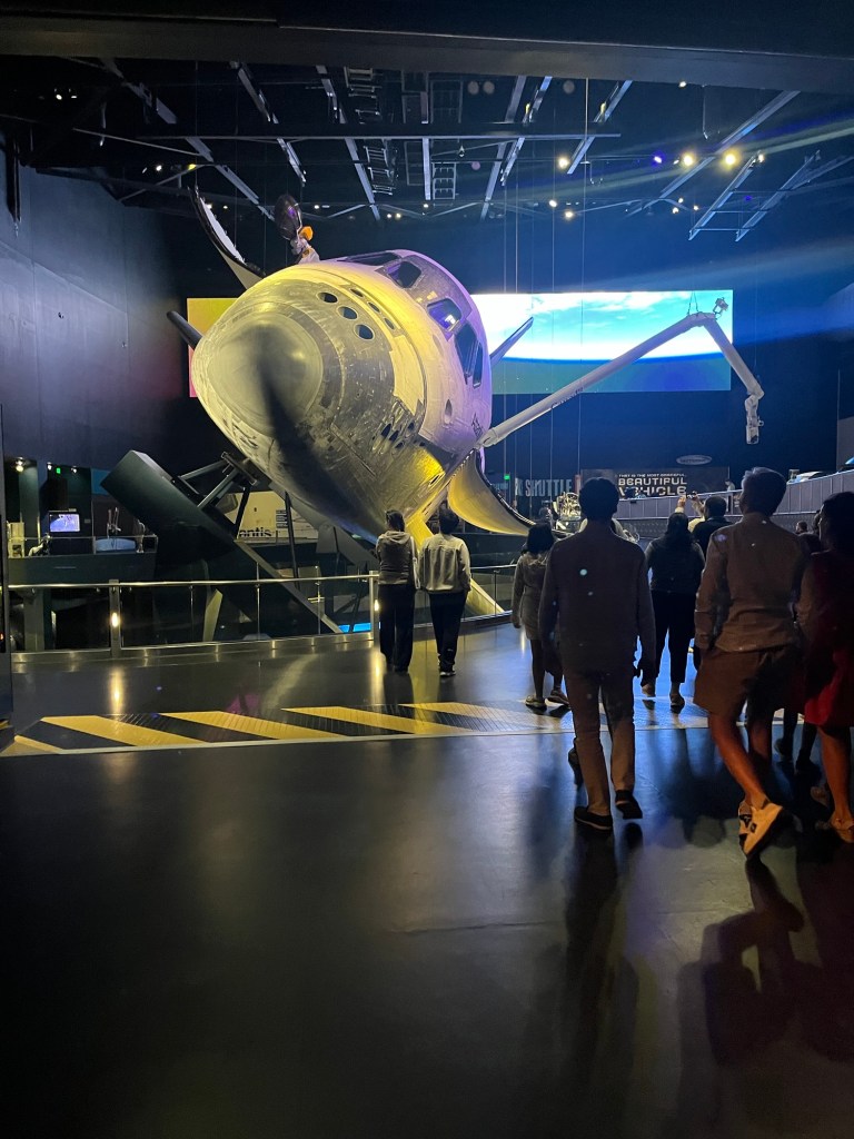
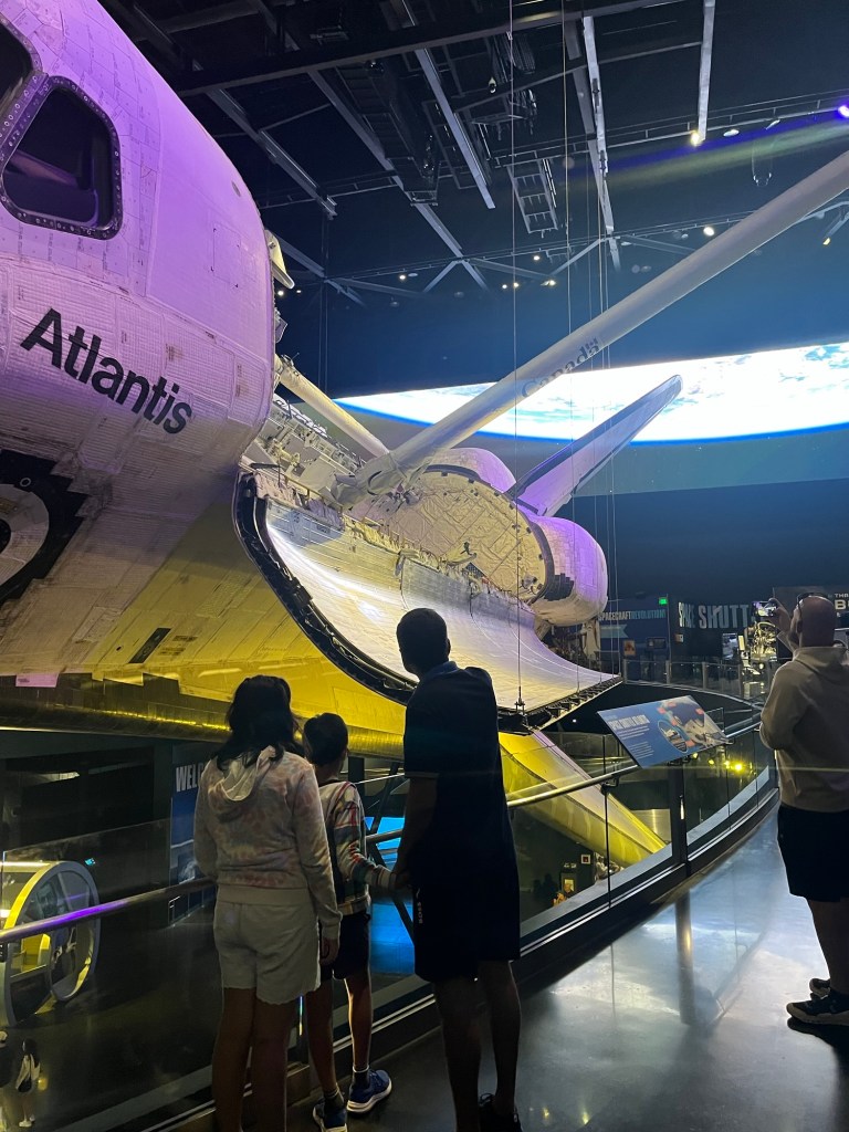
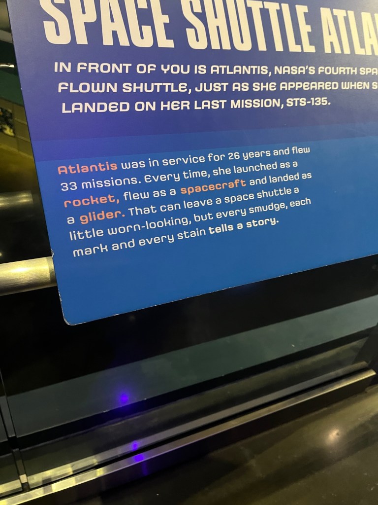
Kennedy Space Center is about 15 minutes from my cousin’s house. So Steve and I spent the day there. OMG, what a place! Part entertainment, wholly historical, and very scientific. I was humbled by our country’s efforts into space. Through NASA so much has been done in the last 70 years. What a place!
A few photos. We would come here again someday.
One of the launch pads
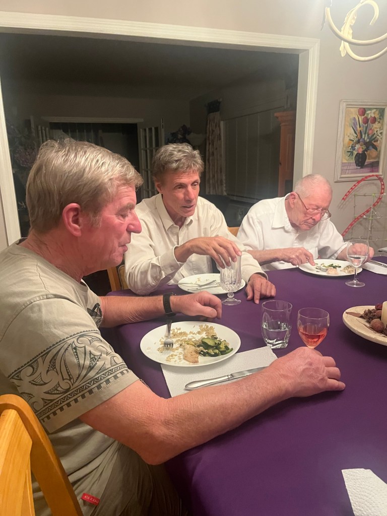
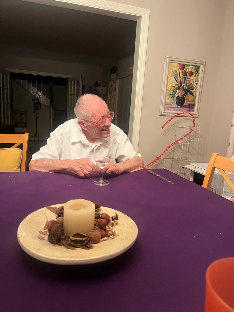
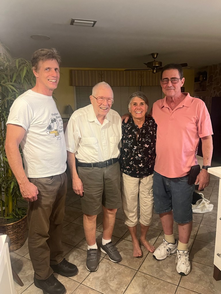
My cousins—Robin and Eric—made delicious dinners both night we were there. So much fun to just hang out with them and my uncle.
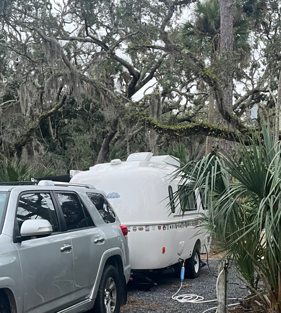
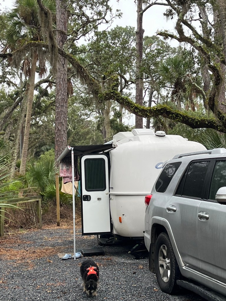
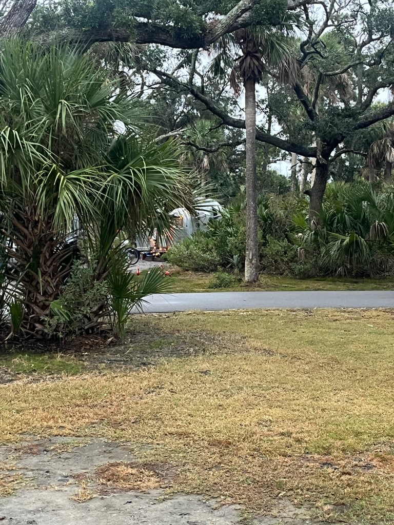
This morning we left Little Talbot Island State Park. An extra day of rest here was good for us.
Campsite Typical view around the island
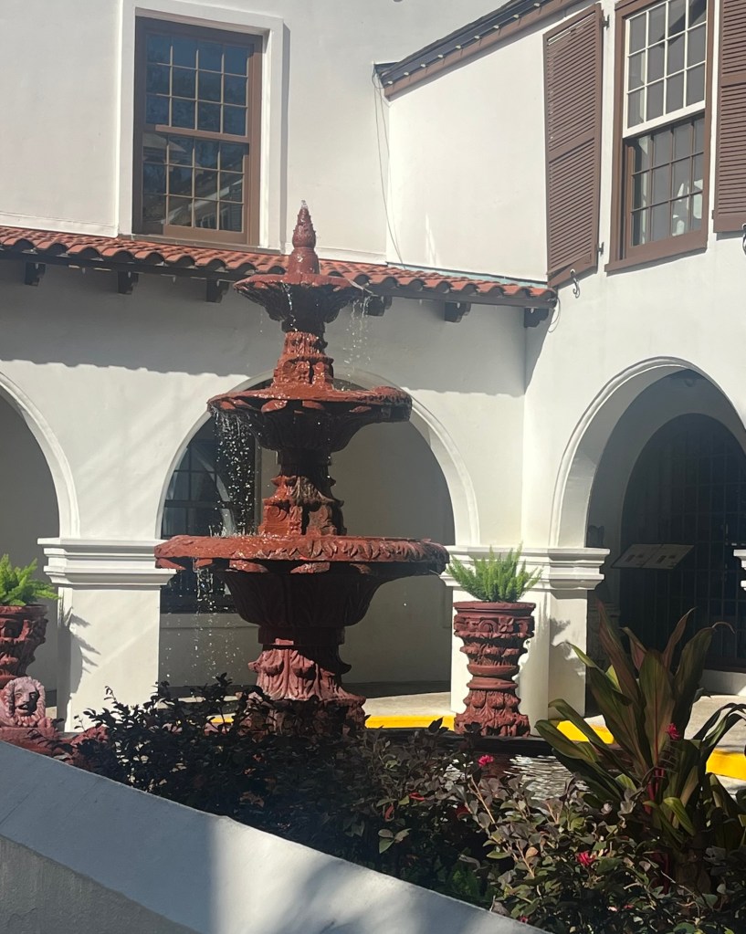
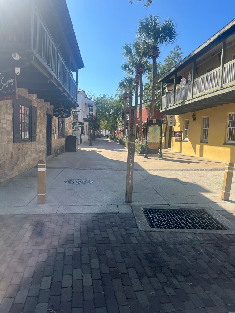
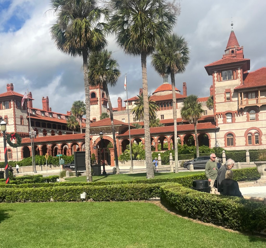
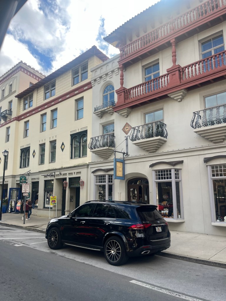
We headed to Saint Augustine— the oldest city in the nation and took a short tour around the city.
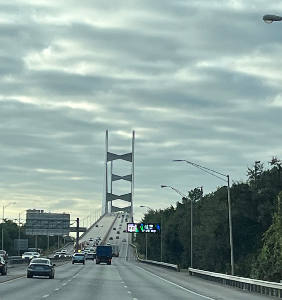
Bridge to St Augustine The land is so flat
Saint Augustine was established in 1565. Spain ceded Florida and Saint Augustine to the US in 1821 and Florida became the 27th State. Two notable facts about Saint Augustine is that the blood red oranges were first cultivated here and the city was one of the centers of the civil rights movement back in the 1960s and 70s.
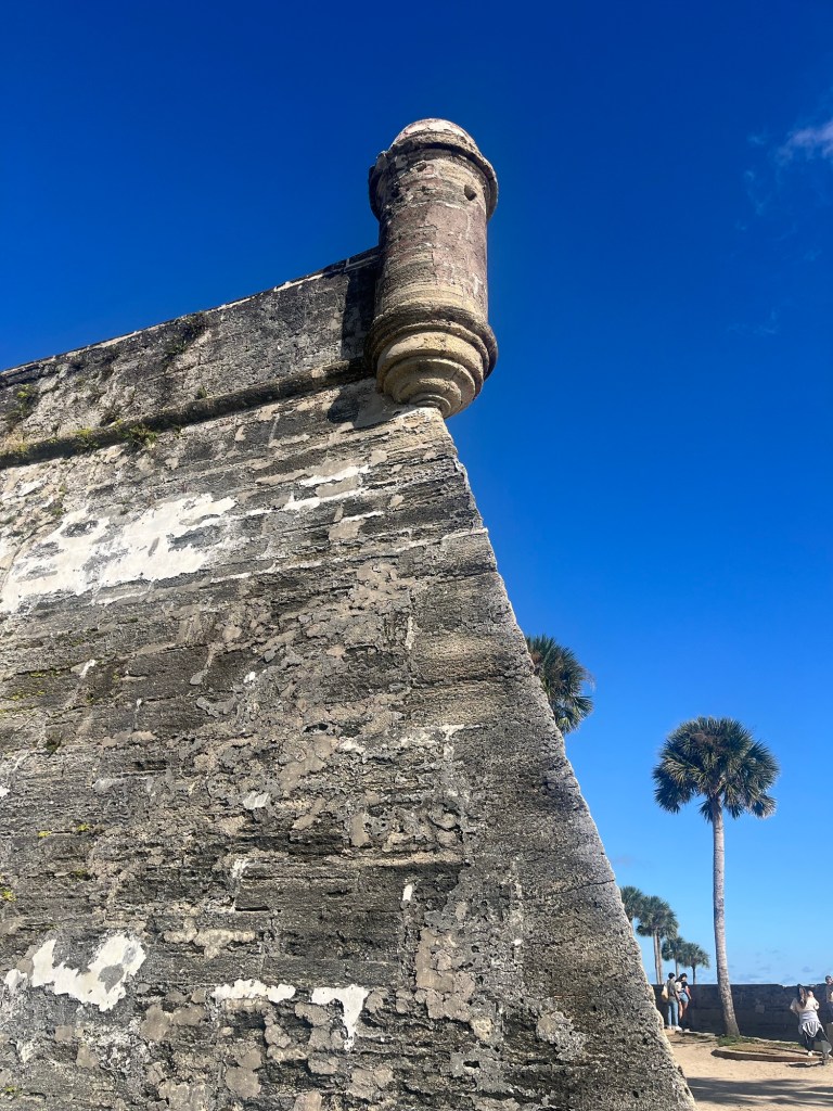
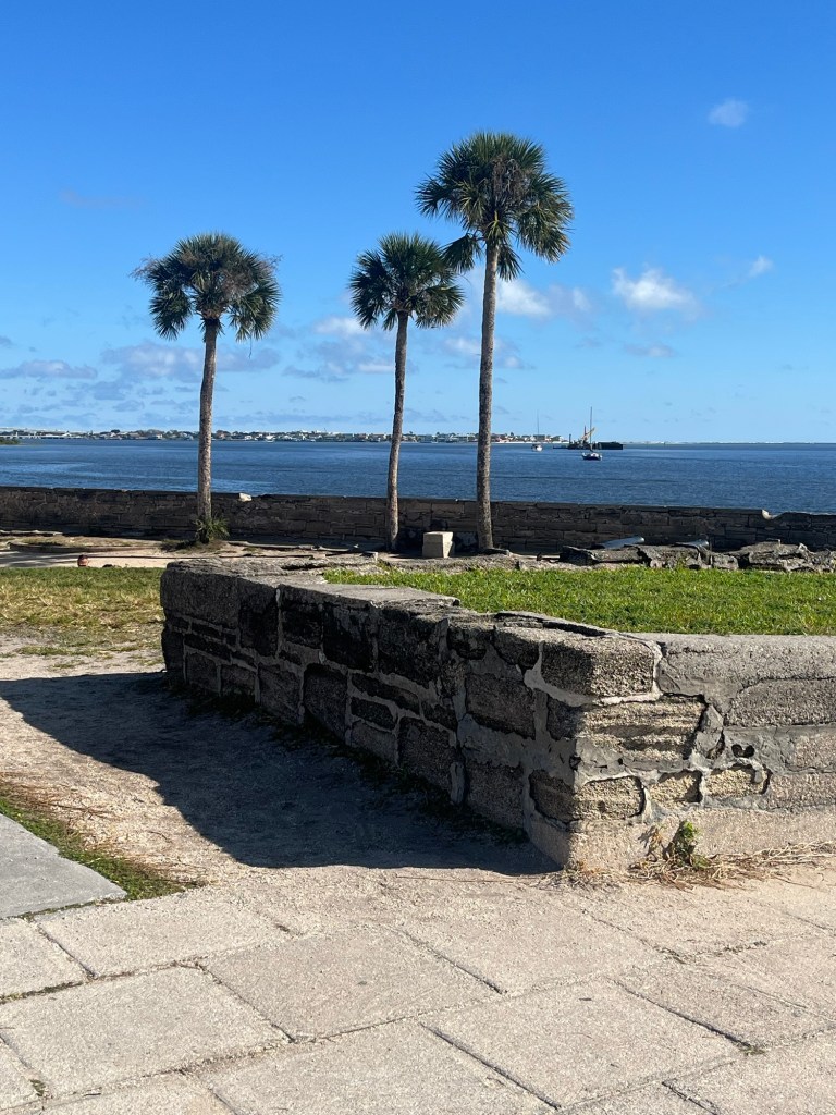
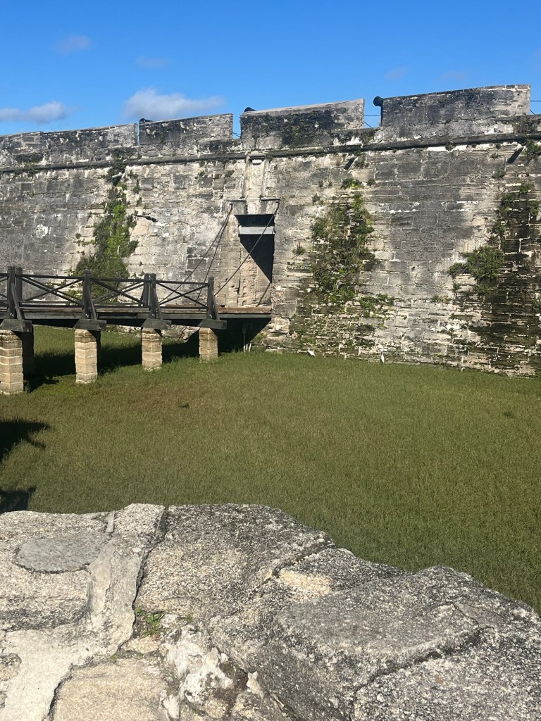
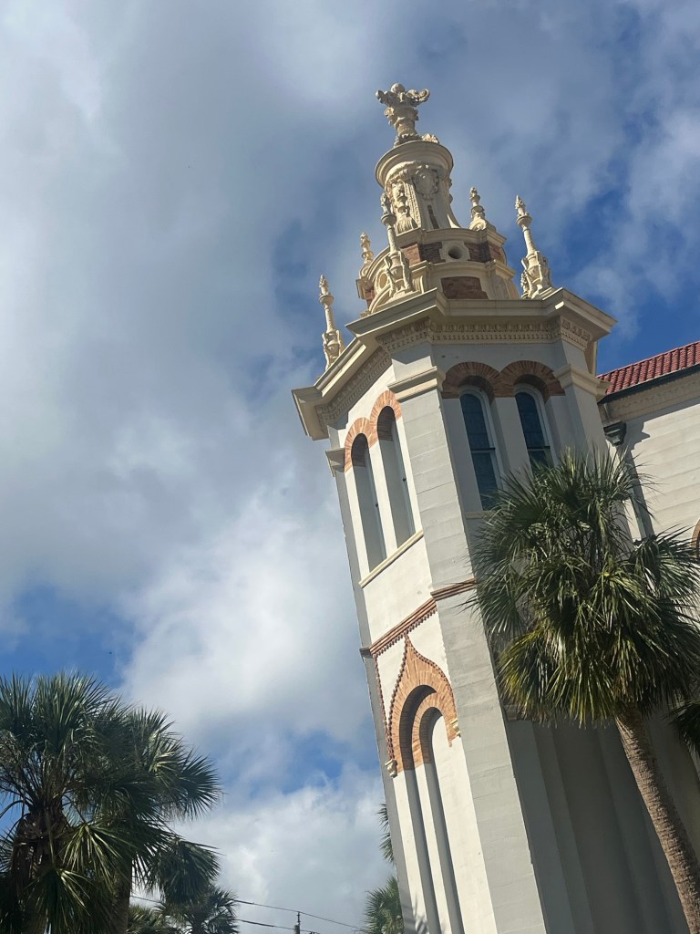
Here are some photos from around St Augustine.
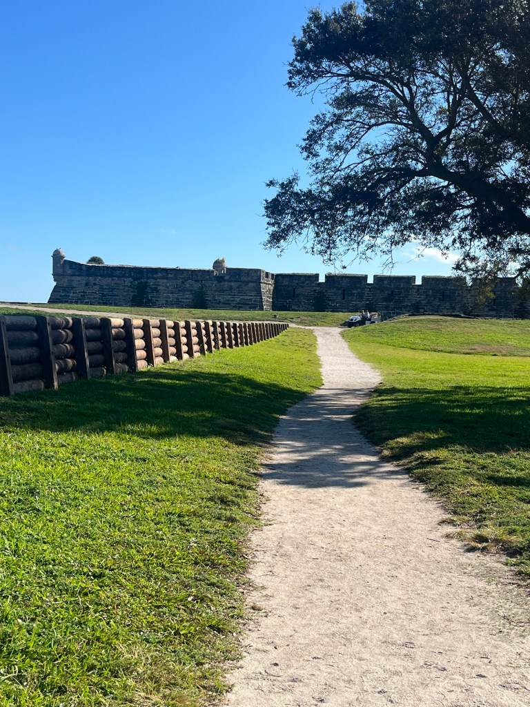
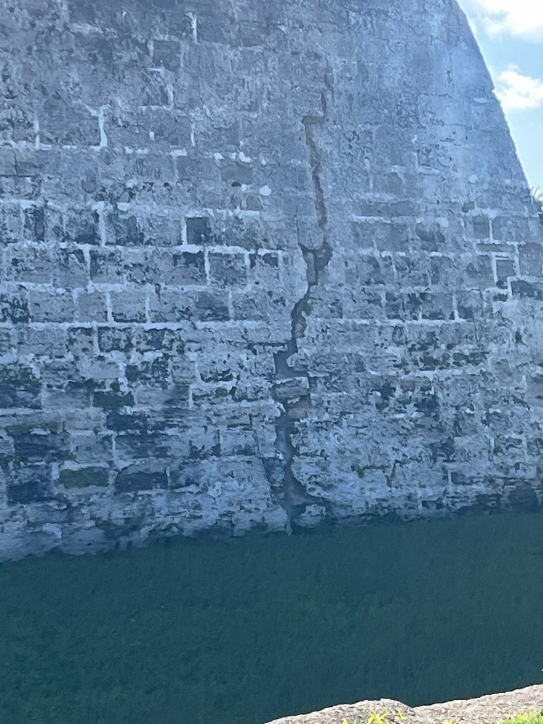
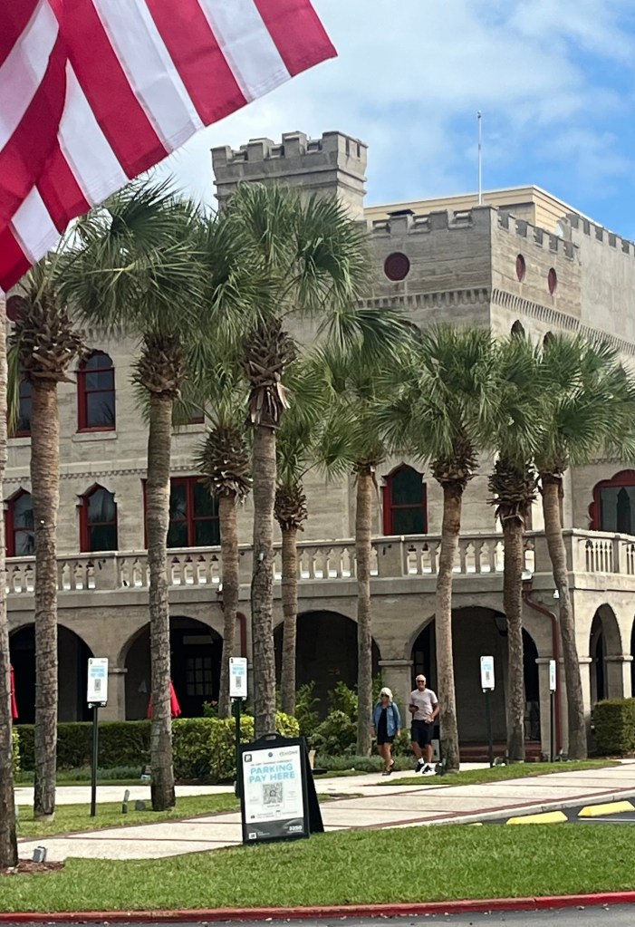
Fort Castillo De San Marcos built in 1672The fort is made of coquina a local porous limestone made from millions of seashells pressed together for thousands of yearsThe soldiers would heat up the cannon balls—hotshot—to send over the wall at wooden ships to ignite them and sink them. Saint Augustine HarborFort entranceLook at all the Spanish moss
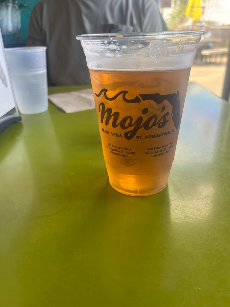
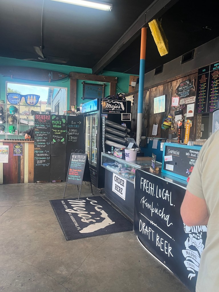
Had a great lunch at Mojo’s in Port St Augustine—grilled shrimp bowl for me and mahi tacos for Steve.
After touring Saint Augustine, we drove on to Titusville. My uncle and cousins live in Titusville. I don’t get to see them often so this visit is a real treat. My uncle (my dad’s older brother) is 98 years young and is sharp,witty, healthy, lives in his own home, and interested in everything.
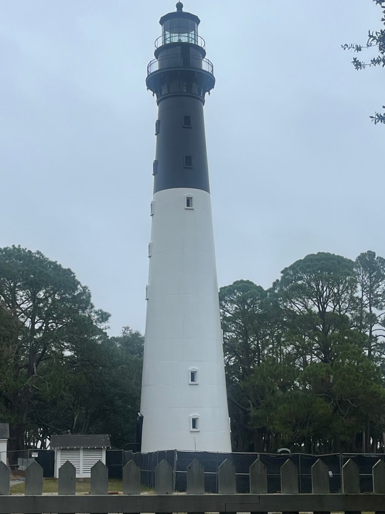
We left Hunting Island State Park. If the sun had been out, we would have stayed longer to enjoy the beach.
Lighthouse at Hunting IslandThe forest at Hunting Island. Probably should call it jungle. On the drive
We drove towards Savannah Georgia.
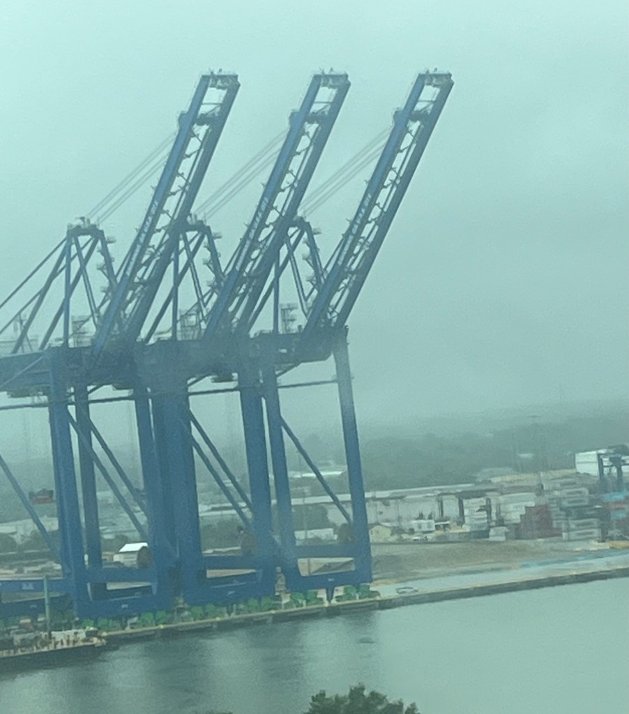
Bridge to SavannahSavanna Harbor
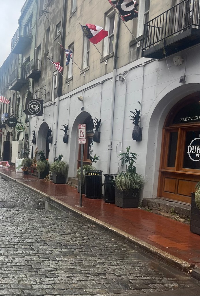
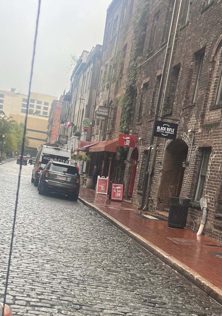
It was raining too much and there was not any parking for a car plus trailer so we just drove through Savannah.
River Street—Historic water front
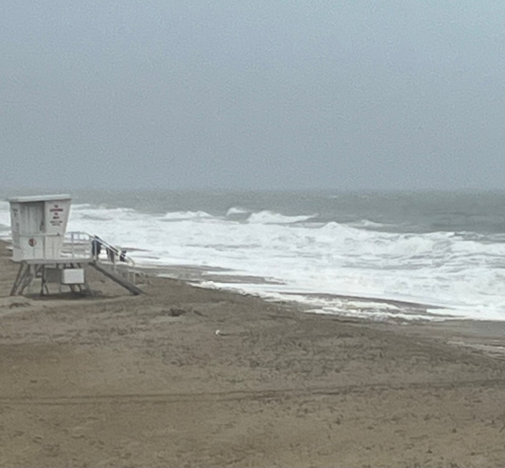
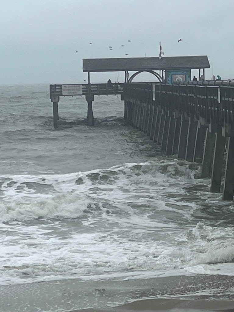
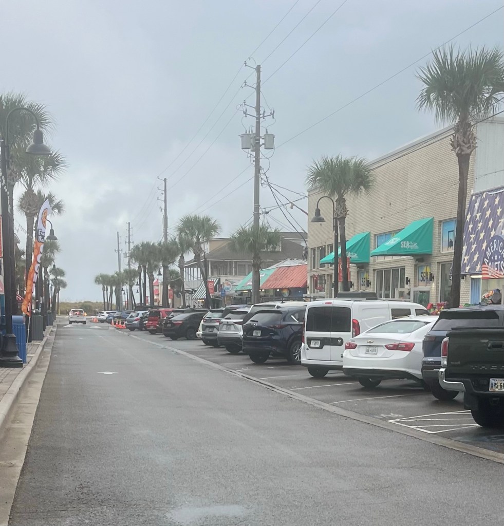
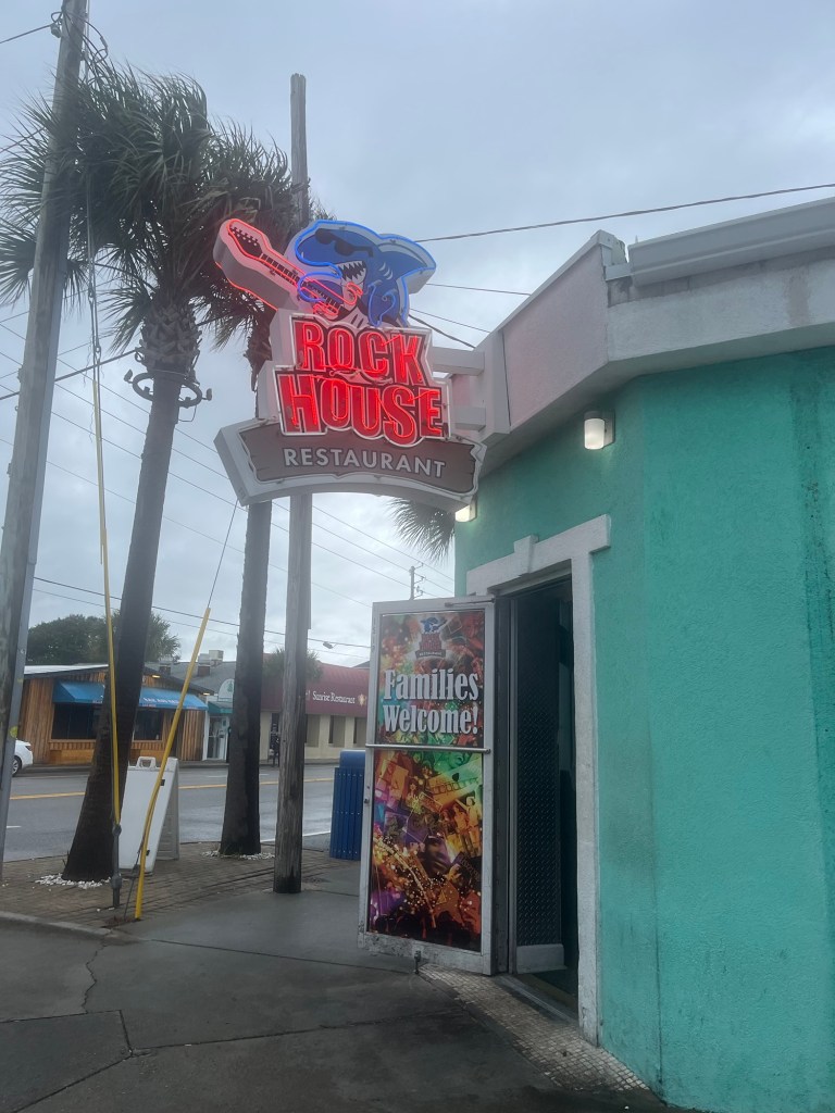
Steve decided he wanted to see Tybee Island off the coast of Georgia. The town reminded us of Hermosa Beach in California. It was very deserted now due to the weather and the time of year but it’s a very busy place during spring break and the summer. We ate at one of the only places open— Rock House Restaurant.
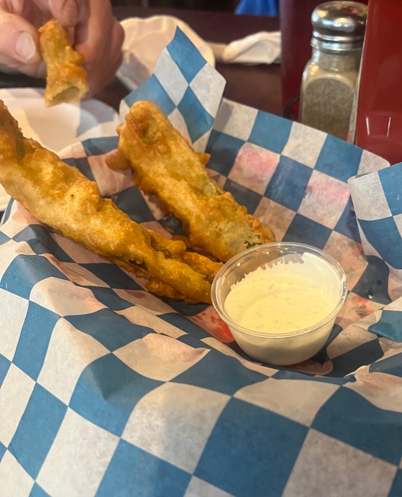
Beach at Tybee IslandPier at Tybee IslandMain Street Lunch stopBeer battered fried pickles. We just wanted to try them and they were actually very good.
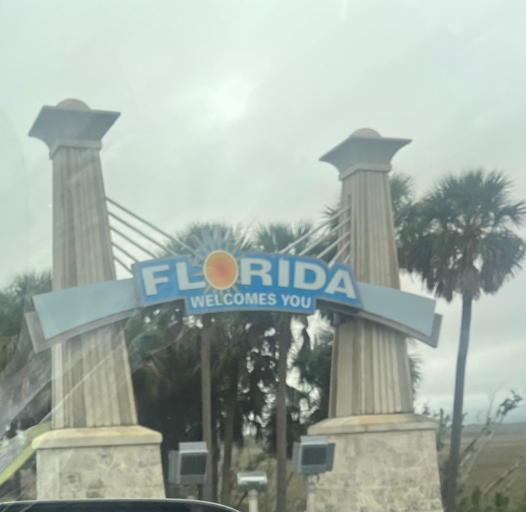
After lunch, we continued on to Florida.
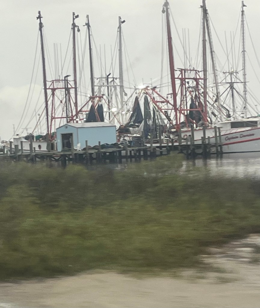
Shrimp boats
We are camping at Little Talbot Island State Park in Northern Florida. We will be here for 2 nights. I’ve had a pinched nerve in my neck the last few days and Steve has had to do all the driving. He’s a little road weary so we thought a day off of driving would be good for the both of us.
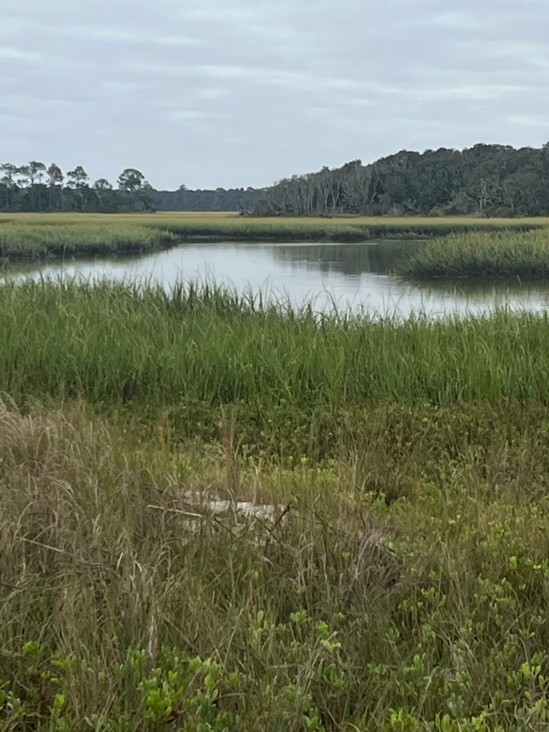
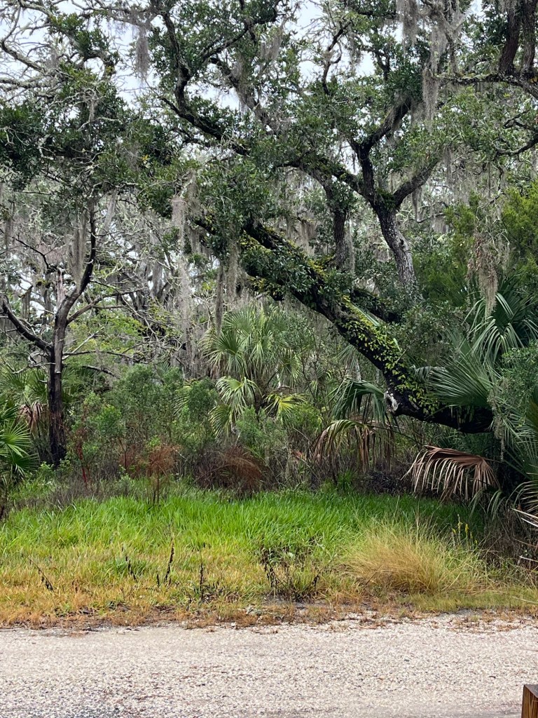
We drove from Charleston down to the “low country“ on the islands off of South Carolina. Terrain, which is flat, is pretty in its own way.
On our way to Hunting Island we stopped in a cute town, Beaufort. We had lunch at Low Country Produce which was a really nice eclectic restaurant with terrific food. I had shecrab chowder, and Steve had a fried chicken sandwich called the OoheyGoohey with garlic pepper jam, and strawberry pepper jam.
Low Country Produce restaurant
Here are some photos from Beaufort:
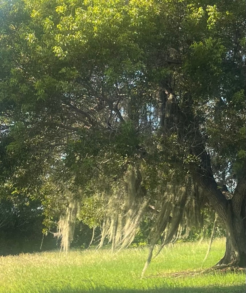
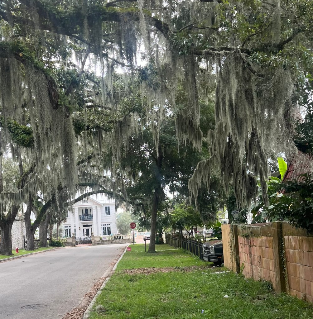
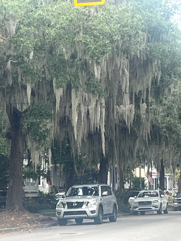
I like seeing all the Spanish moss. Learned that the Spanish moss does not impact or hurt the trees.
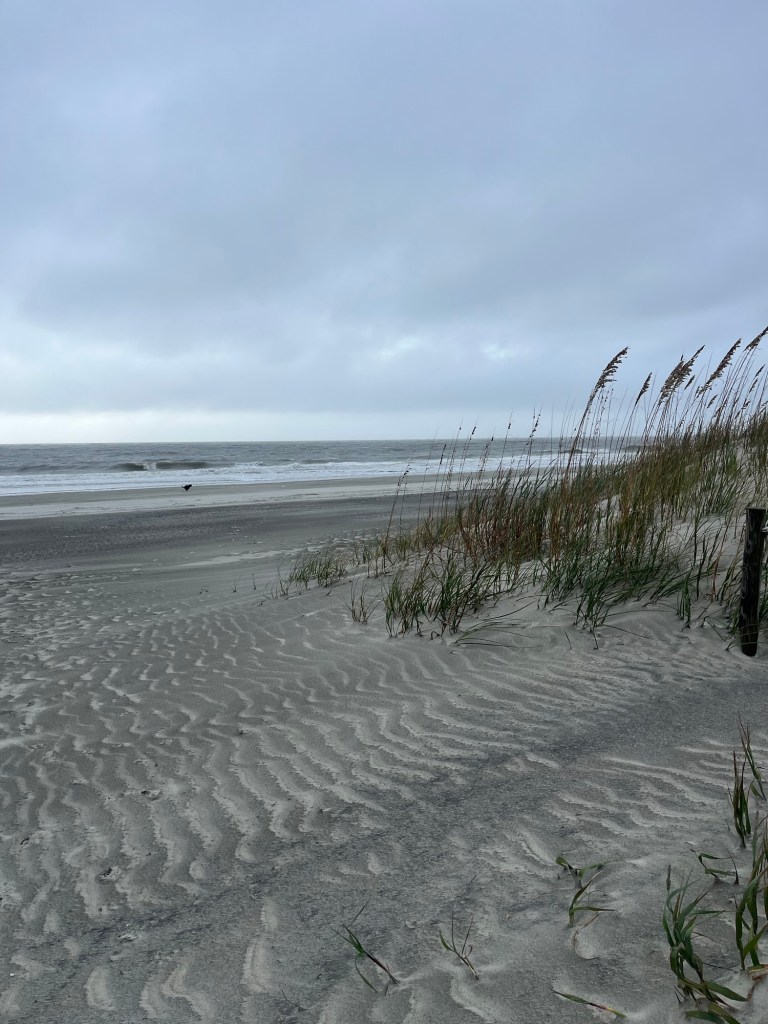
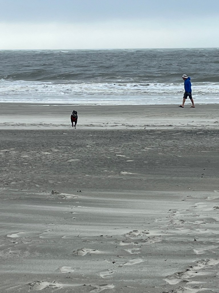
We are camped at Hunting Island State Park. Another great park with a two minute walk to the beach.
The view from our Casita.Halloween decoration at one of the campsites Trees are quite different in this campground from those we saw in the campgrounds in Maine and Vermont😊
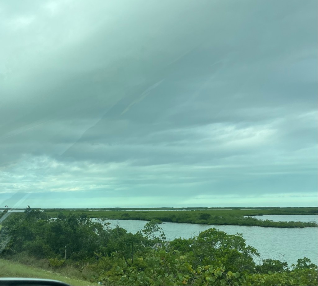
Although a storm is brewing as you can see from all the clouds, we have been tracking hurricane Melissa which does not seem to be coming to any of the coast of United States.